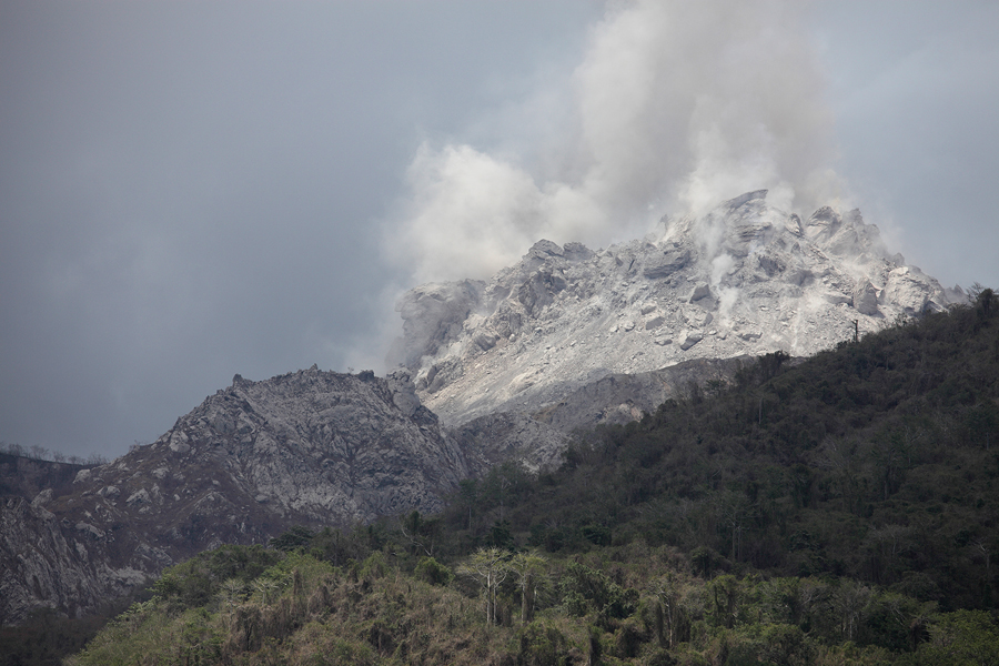
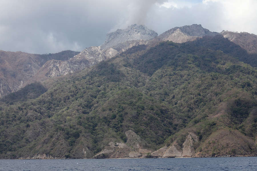
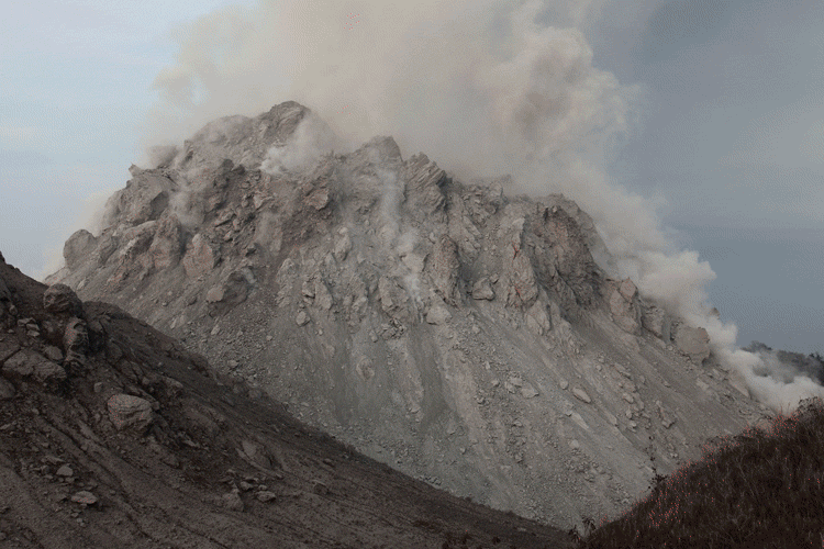
Summit region with degassing Rerombola lava dome
Summit region with Rerombola lava dome
|
|
|
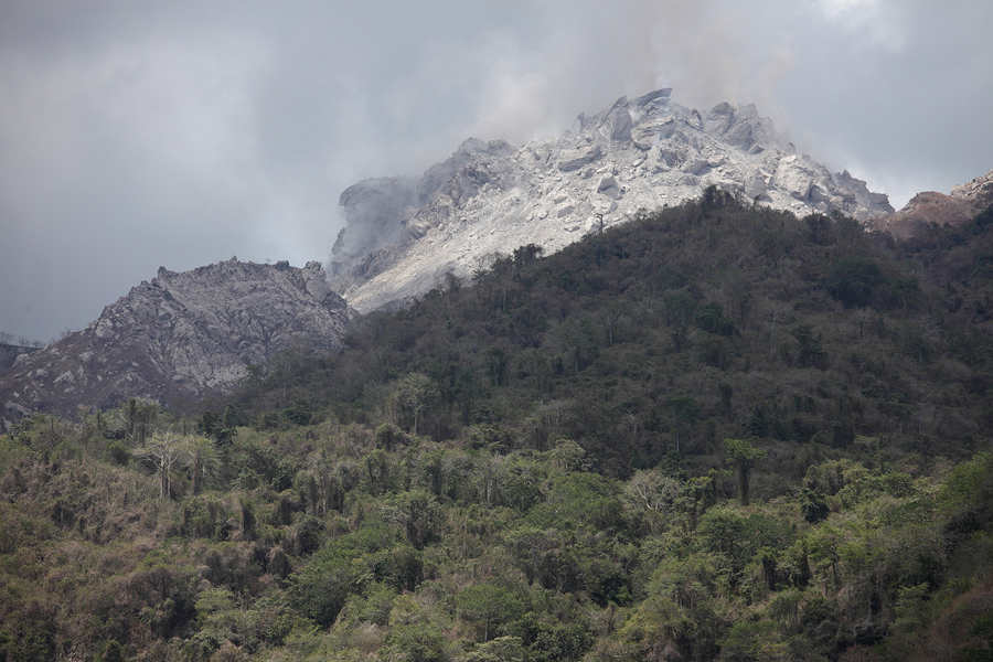
Summit region with degassing Rerombola lava dome |
Summit region with Rerombola lava dome |
 |
 |
|
Rokatenda lava dome |
Rerombola lava dome (with older structure to left below) |
 |
 |
 |
|
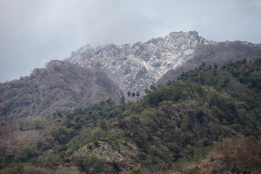
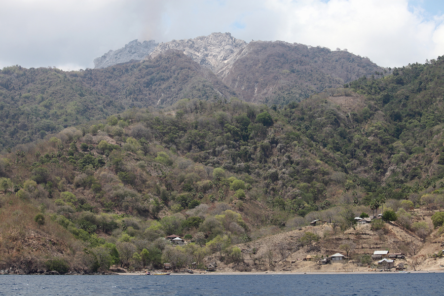
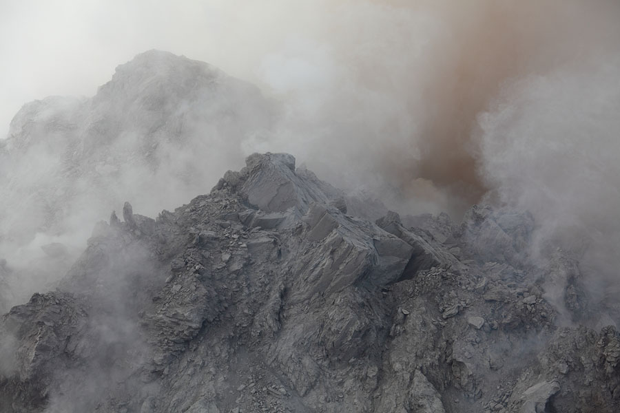
Overview of historically active area |
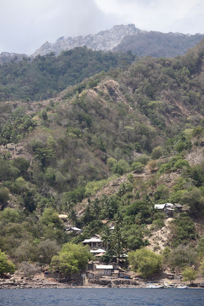
Village in shadow of volcano |
Village in shadow of volcano |
 |
 |
|
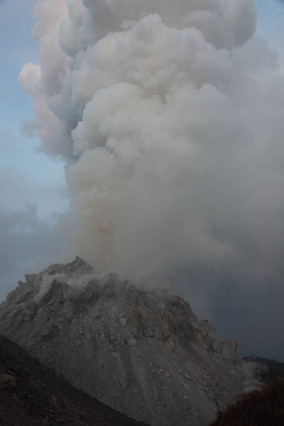
Precursory degassing prior to eruption, June 12, 2012 (Image kindly provided by Ignatius Cua) |
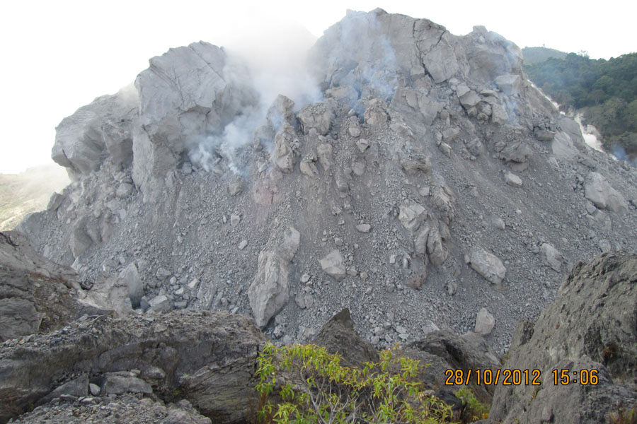
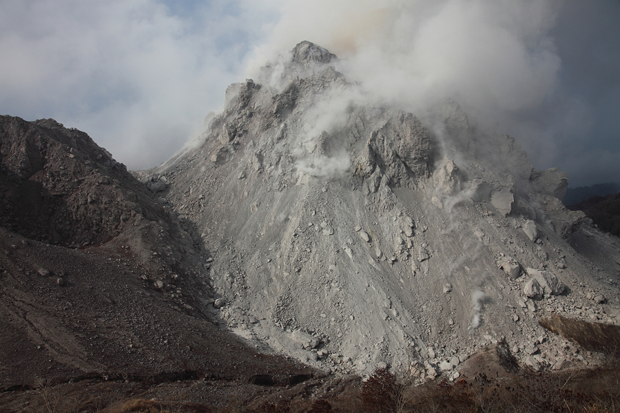
2012 Dome as observed on 28.10.2012 (Image kindly provided by Ignatius Cua) |
 |
 |
|
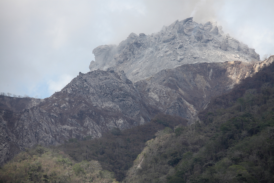
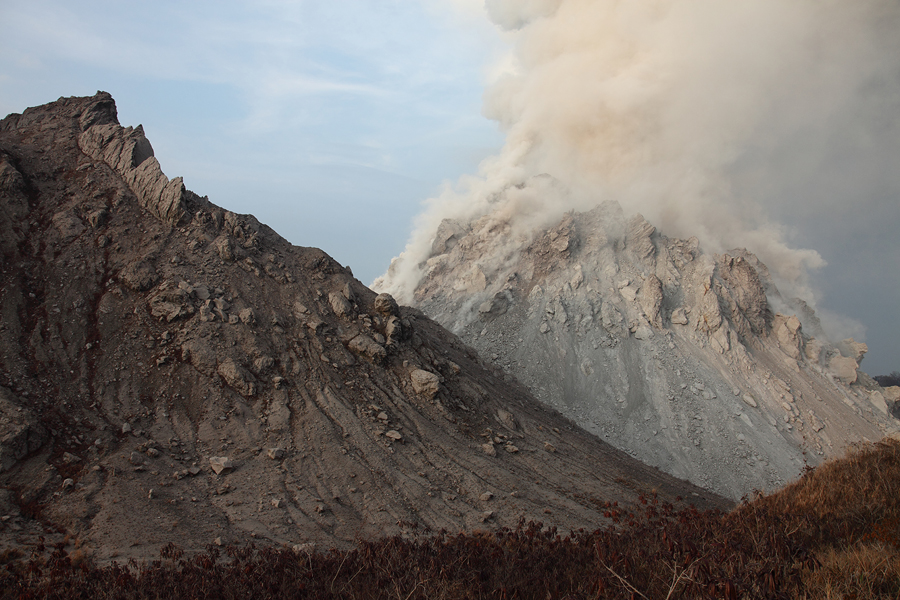
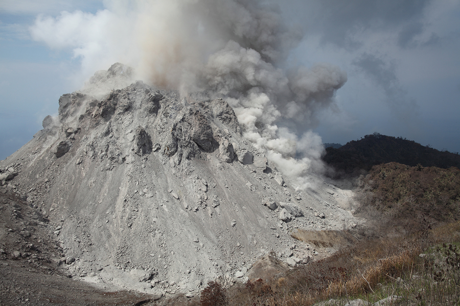
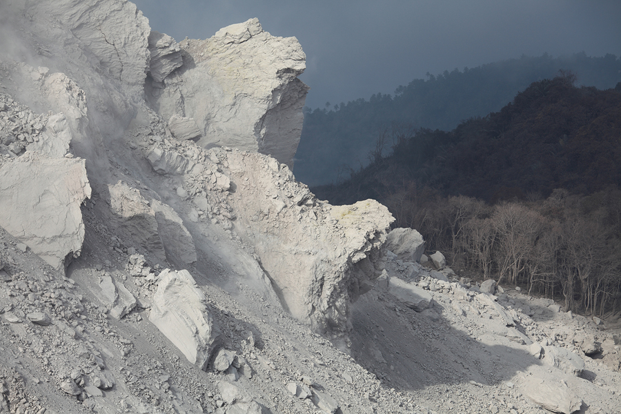
Inactive Rokatenda dome with Rerombola degassing behind |
Rerombola lava dome |
 |
 |
 |
|
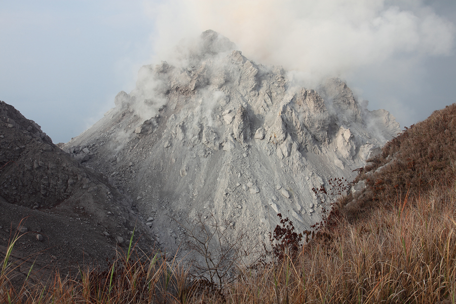
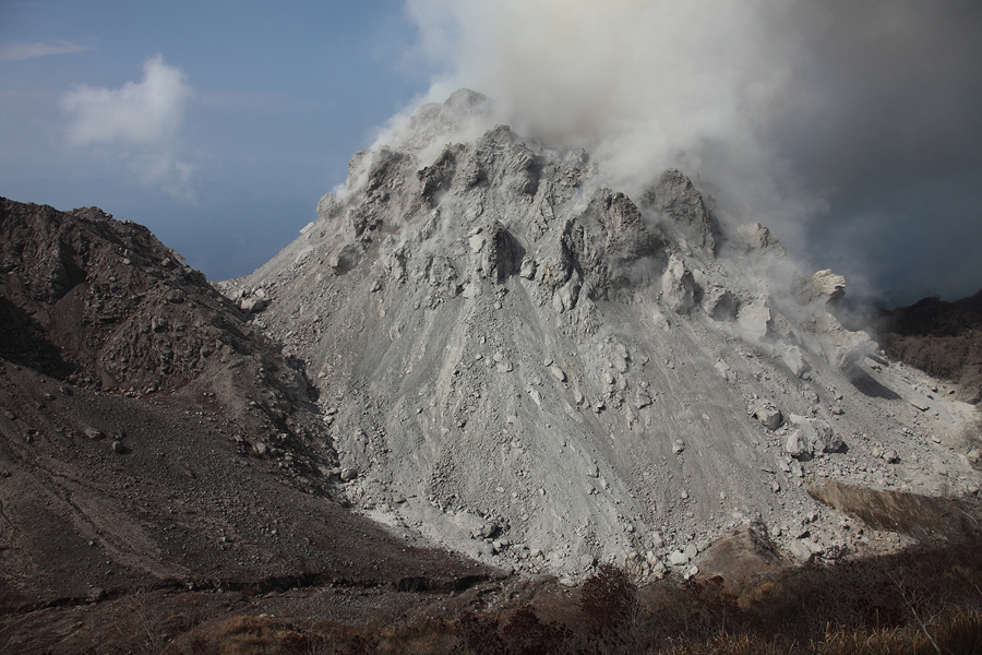
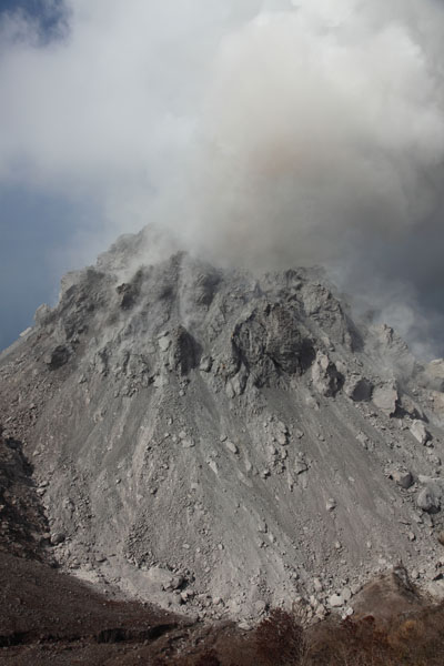
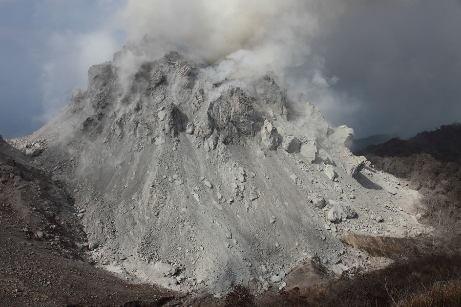
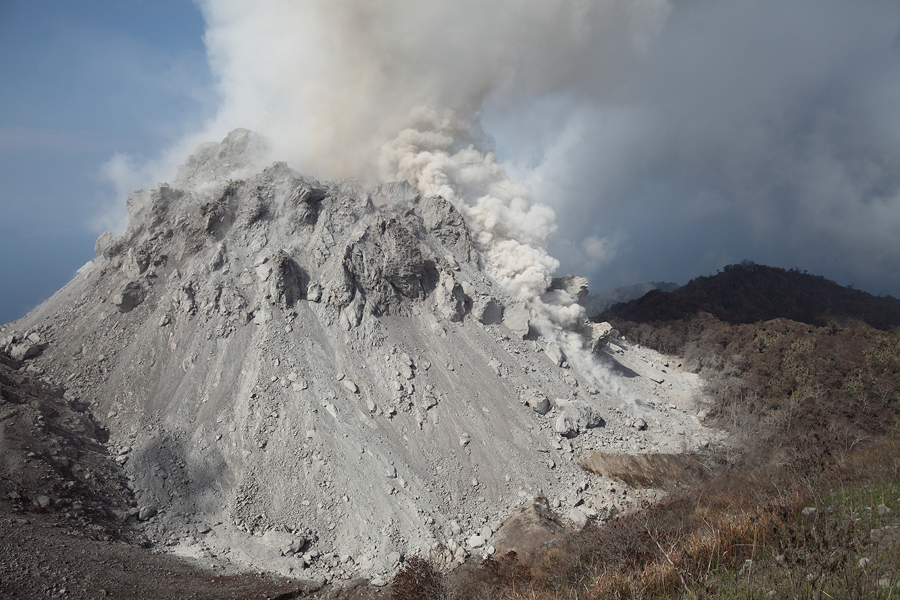
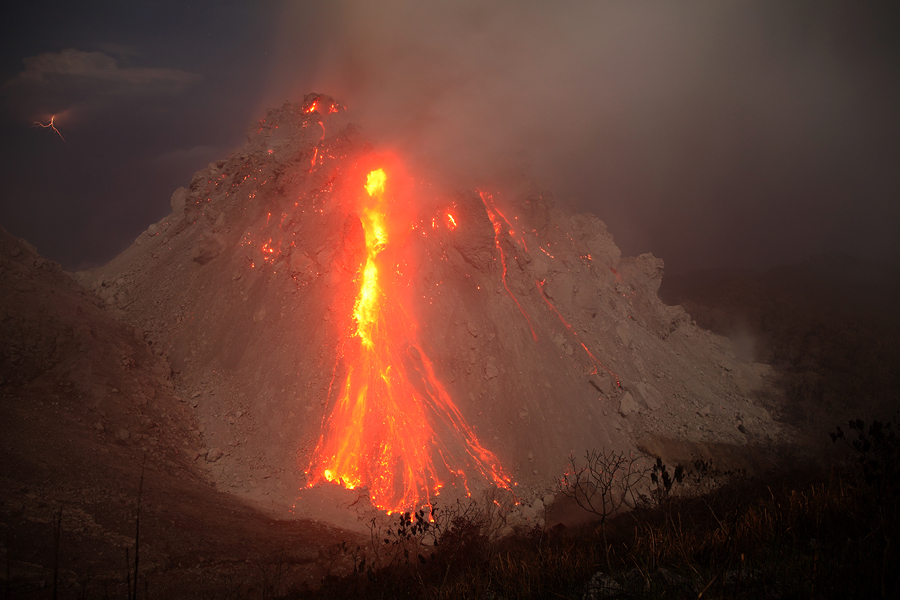
Rerombola degassing |
 |
 |
 |
|
Rokatenda (left) and Rerombola (right) |
Rerombola degassing at dawn |
Rokatenda (left) and Rerombola (right) |
 |
 |
 |
|
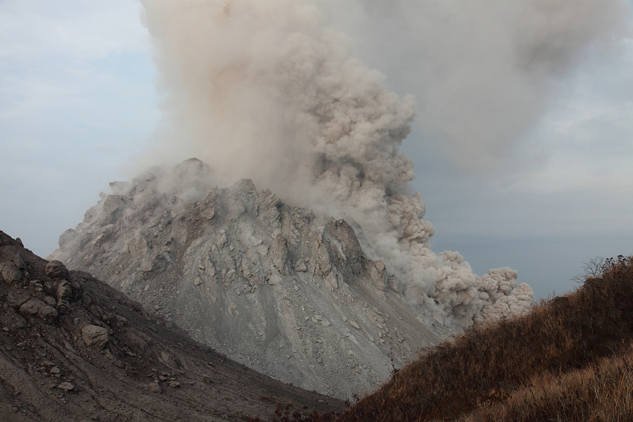
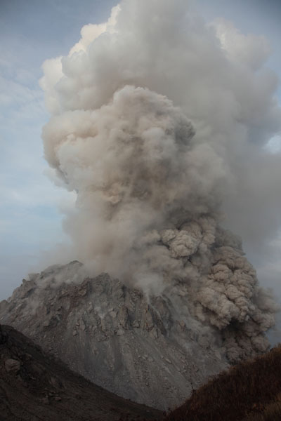
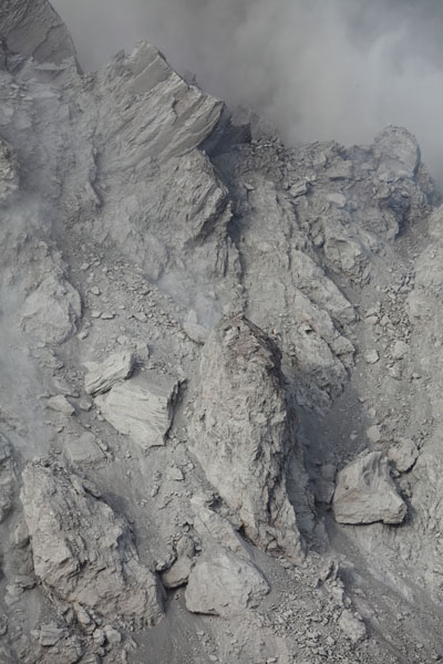
Small pyroclastic flows on flank of Rerombola |
 |
 |
|
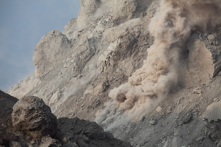
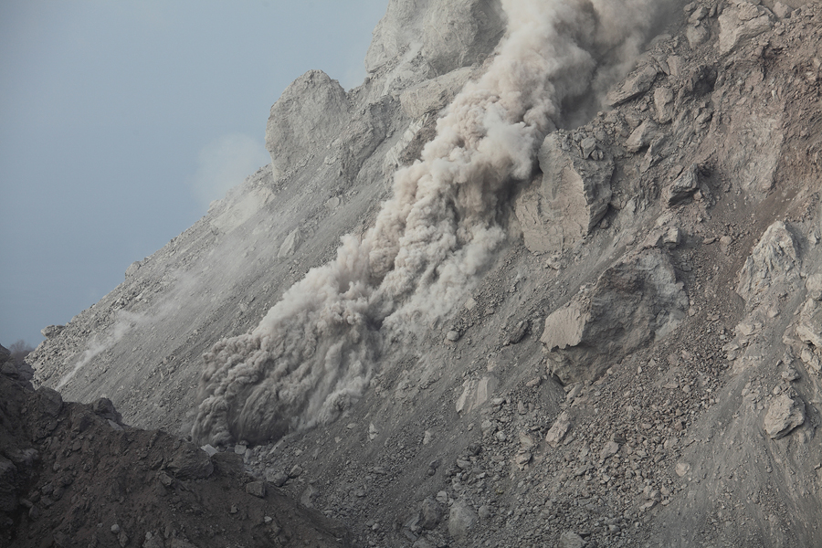
Rockfalls / Miniature pyroclastic flows |
Rockfalls / Miniature pyroclastic flows |
 |
 |
 |
|
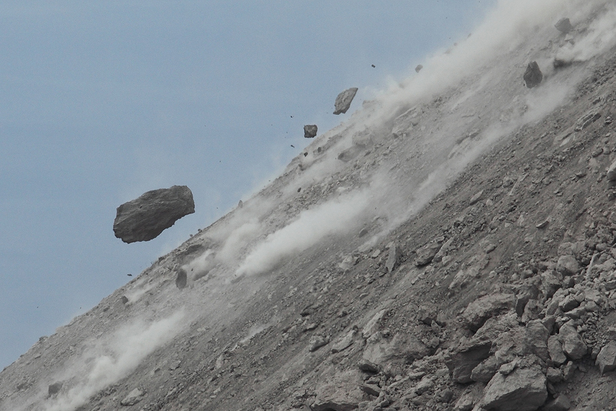
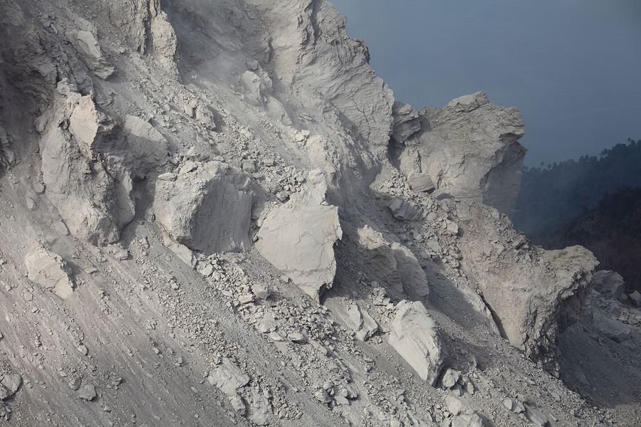
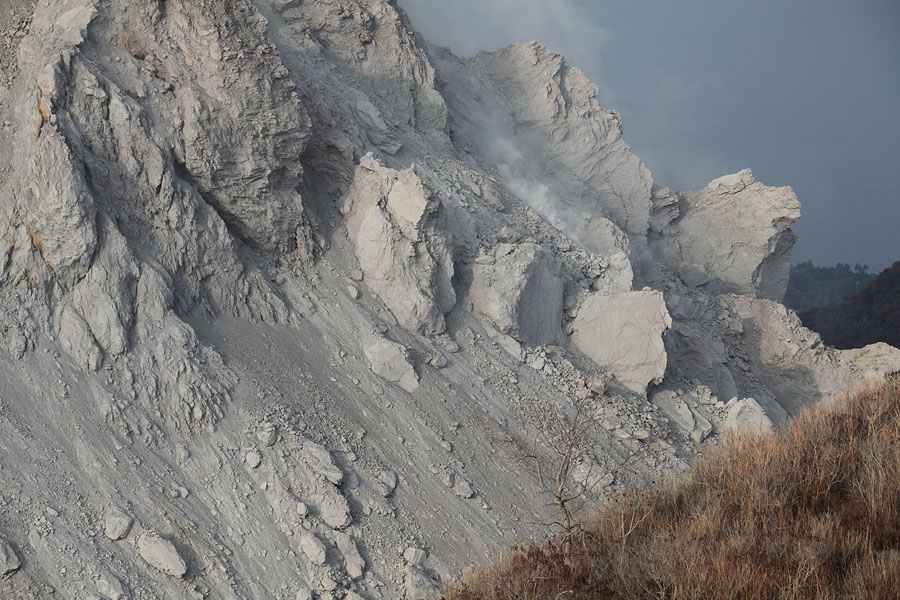
Intense rockfall activity |
Rock bouncing down dome |
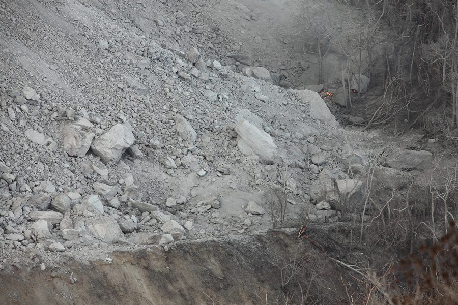
Debris apron with vegetation ignited by glowing blocks |
 |
 |
|
Intense rockfall activity |
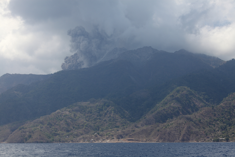
Larger pyroclastic flow viewed from boat |
 |
 |
|
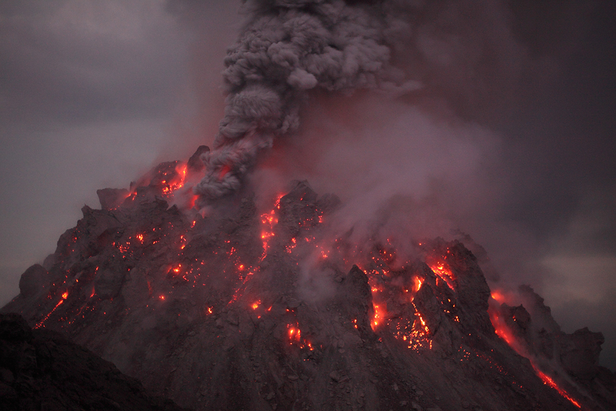
Nighttime ash venting |
Nighttime ash venting |
 |
 |
|
Close-up of vent (on left) from nighttime activity shown above |
Weak degassing occuring constantly from other vent |
 |
 |
|
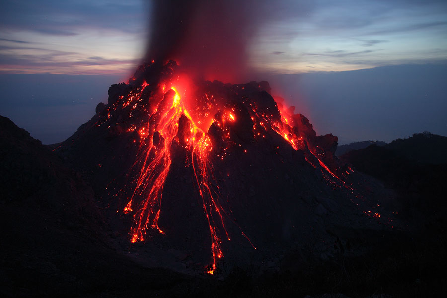
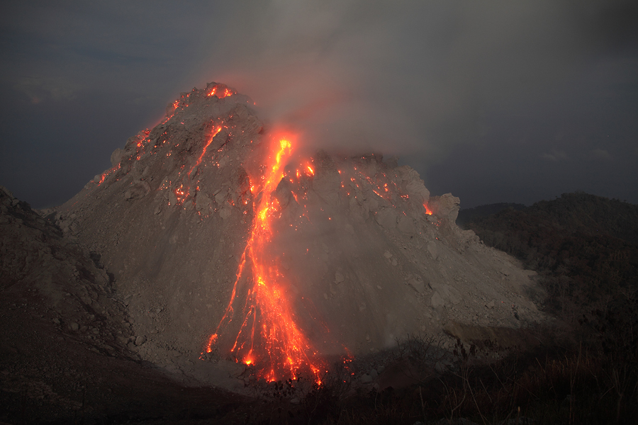
View of Rerombola dome at night with incandescent rockfall activity |
View of Rerombola dome at night with incandescent rockfall activity |
 |
 |
 |
|
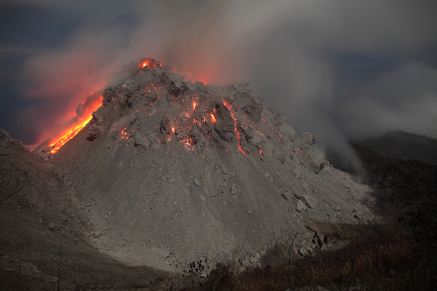
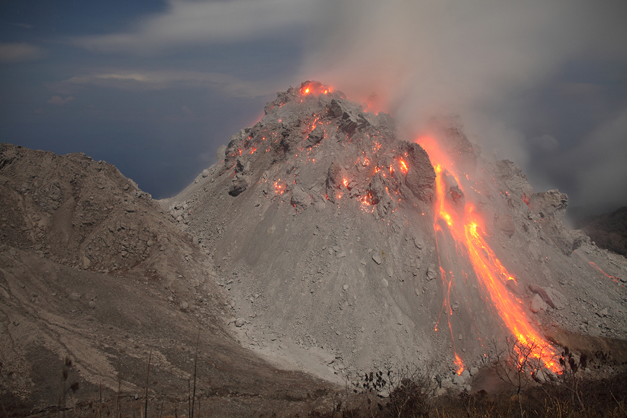
Glowing summit of Rerombola dome |
Rerombola at night with minor rockfall |
Rerombola at night with minor rockfall |
 |
 |
|
Rerombola at dawn with minor rockfalls |
Rockfalls on lava dome in moonlight |
 |
 |
|
Rockfalls on lava dome in moonlight |
Incandescence on flank following double lobe collapse |
 |
 |
 |
|
Extrusion lobes |
 |
 |
|
Extrusion lobes on north flank of Rerombola |
Extrusion lobes on north flank of Rerombola |
 |
|
Animation of collapse of extrusion lobe |
 |
 |
 |
|
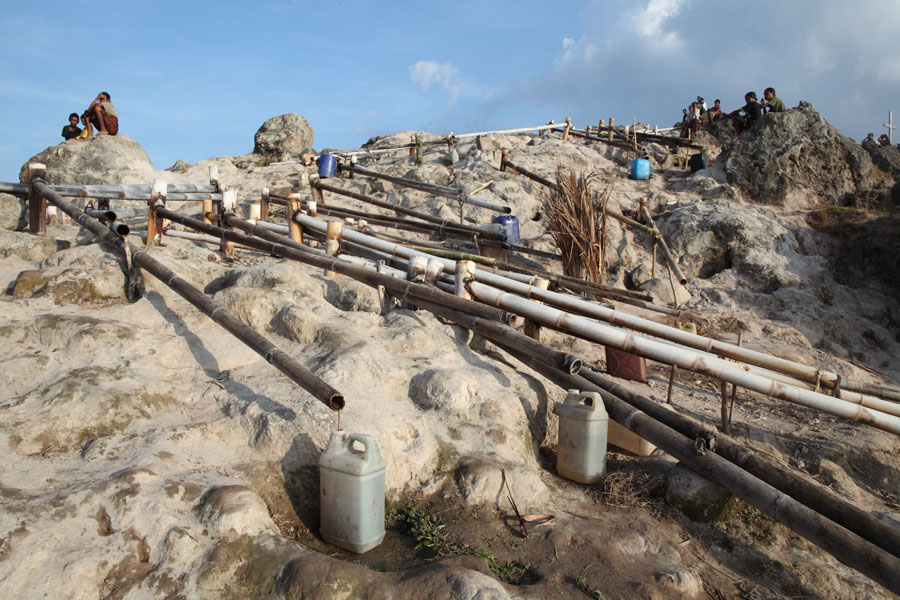
Collecting water from fumarolic steam emissions |
Collecting water from fumarolic steam emissions |
View to degassing dome from fumaroles |
 |
 |
|
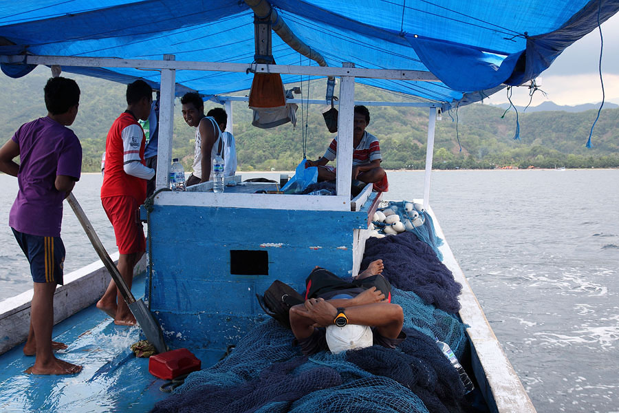
Leaving Ropa by fishing boat |
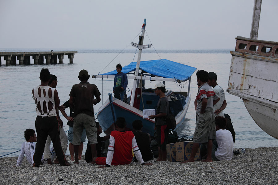
Landing on Paluweh Island |