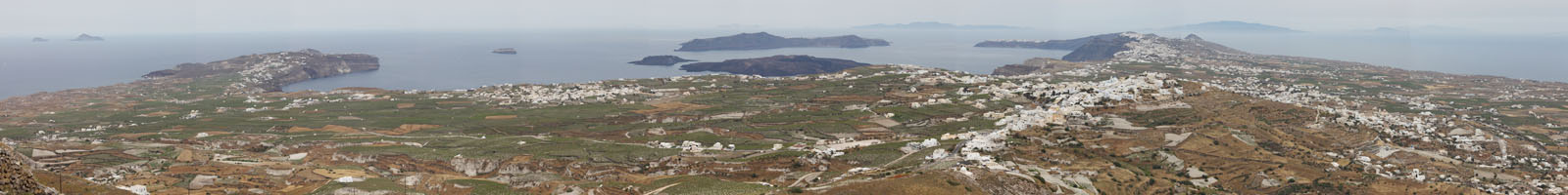
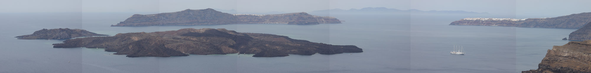
Santorini archipelago viewed from summit of Profitis Ilias (Stitched Panorama Image)
|
|
Santorini archipelago viewed from summit of Profitis Ilias (Stitched Panorama Image) |
 |
 |
|
Aerial image of Santorini from SSE. Right of center is non-volcanic part of island. |
Aerial image of Santorini Caldera from south. Kameni islands are visible in center. |
 |
 |
|
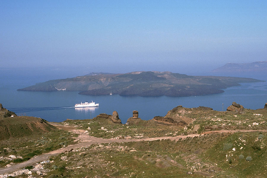
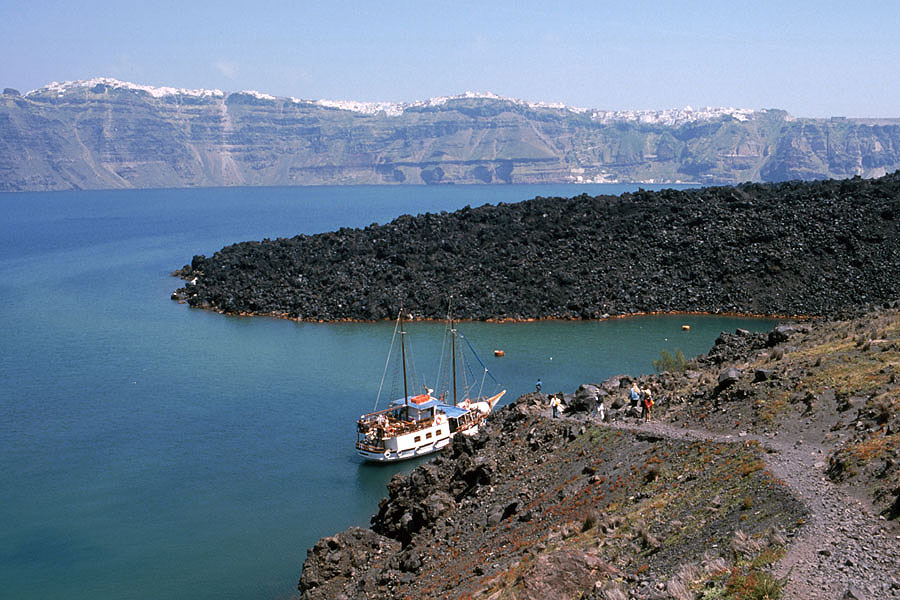
Ferry passing in front of Nea Kameni island |
Imerovigli village above caldera wall |
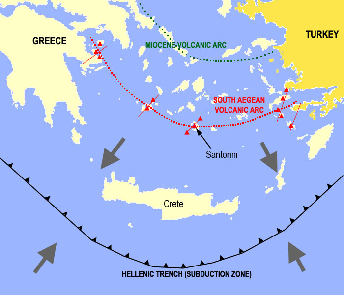 |
The South Aegean (or Hellenic) Volcanic Arc extends almost 500 km from mainland Greece to Turkey. The trench formed by subduction of the African plate lies about 250 km south of the arc, the latter lying in a zone with a crustal thickness of about 30 km. The subduction process is responsible for the magmagenesis which has resulted in the formation of the arc. Further volcanic centers on the arc include Aegina, Methana, Poros, Milos, Kos, Yali and Nysiros and are indicated by red Triangles. The red lines dissecting the active arc indicate fault lines associated with volcanic activity since they allow magma easier access to the surface. Grey arrows indicate directions of movement of the Aegean Plate (north of trench) and African Plate (south of the trench), the latter of which is subducting under the Aegean Plate.The map represents an extreme simplification of the complex tectonic structures in the region. The interested reader could view e.g. Vassilakis et al. 2011 (Earth Planetary Sci. Lett. 303, p.108-120) for a far more detailed analysis. |
 |
 |
|
Fig.1 Map showing the strong regional influence of regional tectonics on the development of the volcanic field. Extracted from "Santorini Volcano". Geol. Soc. Lond., Memoirs 19, 165pp, Fig.3.57 d.o.i.:10.1144/GSL.MEM.1999.019.01.12; With kind permission of T.H. Druitt. |
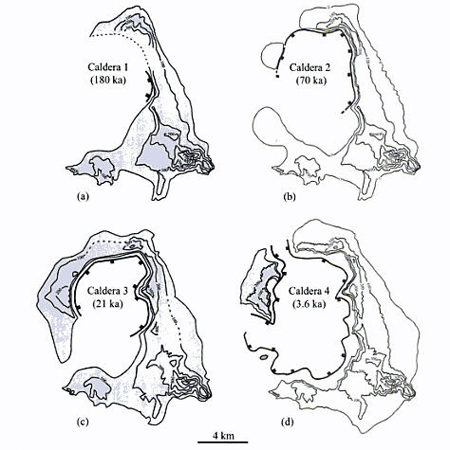
Fig.2 Reconstruction of the four calderas of Santorini for which field evidence is preserved. Contours in meters. Extracted from "Santorini Volcano". Geol. Soc. Lond., Memoirs 19, 165pp, Fig.3.58; d.o.i.:10.1144/GSL.MEM.1999.019.01.12; With kind permission of T.H. Druitt. |
Plinian Eruption (Time B.P. ka*): |
Preceding Interplinian activity: |
Notes: |
Magma Types (B=Basalt; A=Andesite; D=Dacite; R=Rhyodacite) |
- |
Kameni lavas |
A |
|
Minoan (3.6) |
M12 (minor and localized deposits only) |
Caldera 4 formed; End cycle 2 |
R |
Cape Riva (21) |
M11, incl. Andesites of Oia / Therasia Lavas |
Caldera 3 formed |
R |
Upper Scoriae 2 (54) |
M10, incl. Megalo Vouno cinder cone, Skaros Lava shield |
M10 is thickest interplinian layer |
A |
Upper Scoriae 1 (70) |
M9 |
Caldera 2 formed |
A |
Vourvoulos (?) |
M8, incl. Columbos |
- |
A,D |
Middle Pumice (145) |
M7 |
- |
A,D |
Cape Thera (?) |
M6, incl. Simandiri Lavas |
- |
A |
Lower Pumice 2 (172) |
M5 |
Caldera 1 formed; End cycle 1 |
R |
Lower Pumice 1 (203) |
M4 |
- |
R |
Cape Therma 3 (?) |
M3, incl. Alonaki/NE-Lavas |
- |
A |
Cape Therma 2 (?) |
M2 |
Only Plinian eruption without documented PFs |
R |
Cape Therma 1 (?) |
M1 |
- |
A |
Table 1 - Summary of major eruptions of Santorini. * Dates vary considerably depending on source. Accuracy varies (standard deviation not shown). Based largely on Druitt et al. 1999.
 |
 |
 |
|
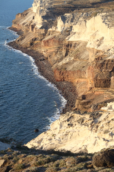
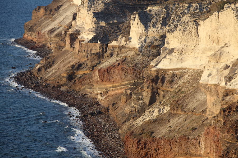
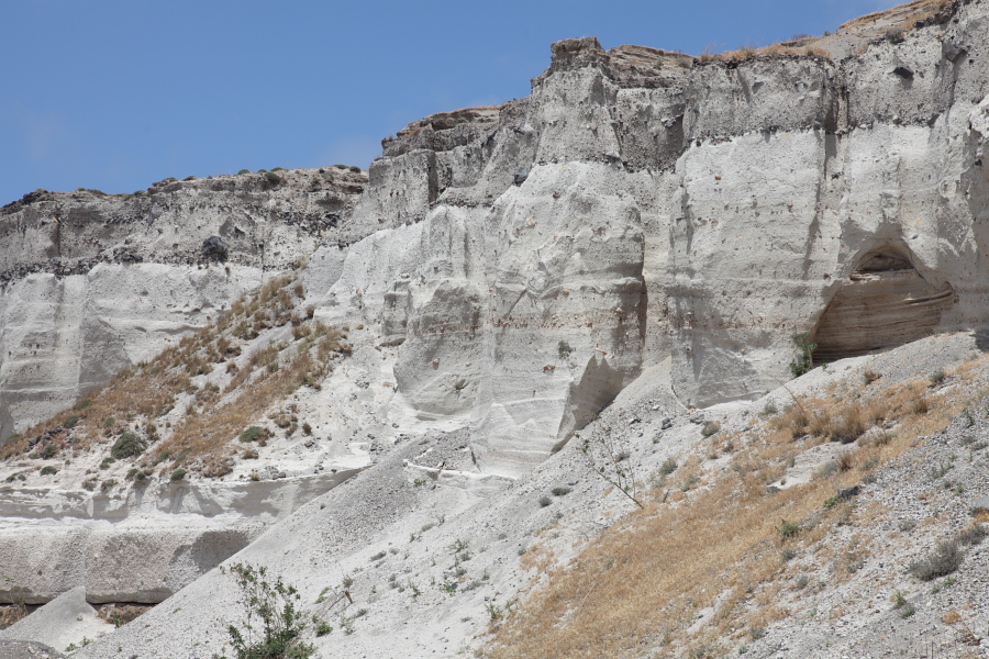
Cliffs of Cape Aspronisi - Cycle 1 deposits visible under lighter Minoan deposits |
 |
 |
 |
|
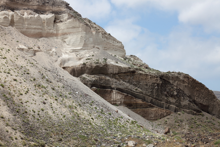
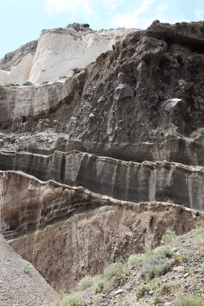
Beautifully stratified pre-Minoan deposits in W corner of Mavromatis pumice quarry |
 |
 |
 |
|
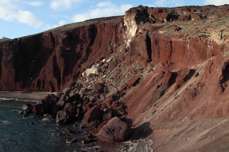
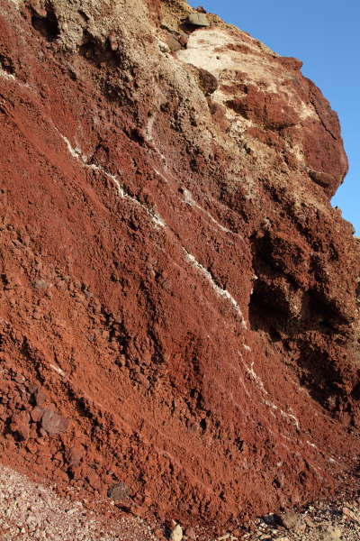
"Red Beach" - Remains of cinder cone on Akrotiri Peninsula. Resulted from basaltic-andesitic strombolian activity. |
 |
 |
 |
|
Layer 3 and Layer 4 deposits near Akrotiri |
Cliff formed by deposits on south coast by Akrotiri |
Large boulder embedded in layer 4 near Akrotiri |
 |
 |
 |
|
Massive Minoan deposits on south coast, 1km east of Akrotiri |
 |
|
|
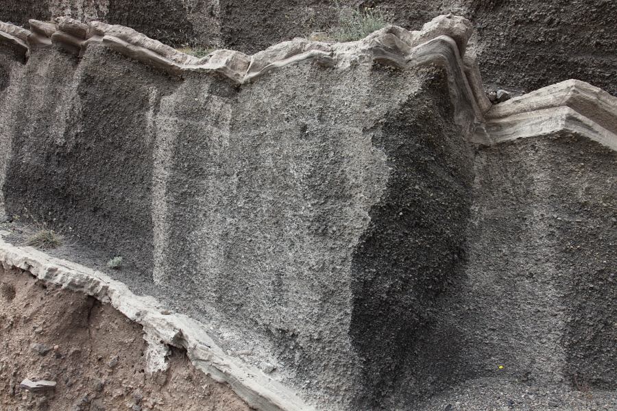
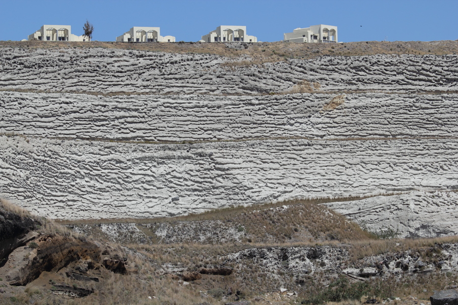
Minoan deposits, Mavromatis pumice quarry |
Minoan deposits, Mavromatis pumice quarry |
 |
 |
|
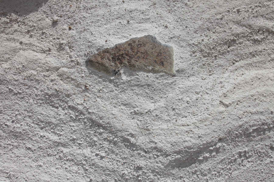
Probable ballistic with impact sag, Mavromatis pumice quarry |
Minoan deposits, Mavromatis pumice quarry |
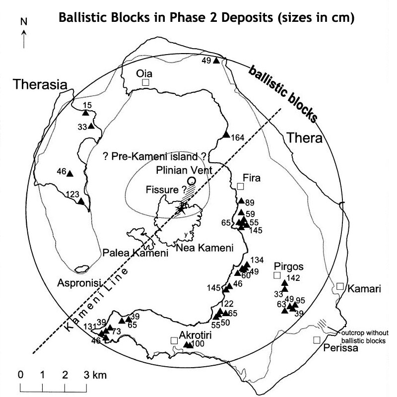 |
Fig.3 Ballistic blocks (triangles) from Phase 2 of the Minoan eruption with median diammeters in cm. The asterisk marks the center of a circle enclosing all ballistic blocks and is interpreted as the most probably source area of the blocks. The vent from the first phase probably widened into a SE-NW trending fracture allowing sea-water contact with magma at the southern rim of Pre-Kameni Island. From Pfeiffer 2001. J. Volc. Geotherm. Res. 106, p.229-242), with kind permission of the author. |
 |
 |
|
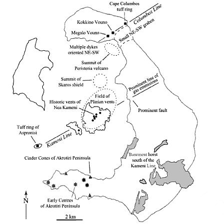
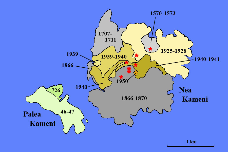
Kameni Islands Geological Maps (numbers indicate year(s) in which lavas emplaced). Red stars show known vent locations. 1950 vent not indicated as directly under small deposit. Based on Druitt et al. 1999. With kind permission. |
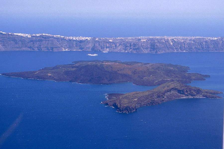
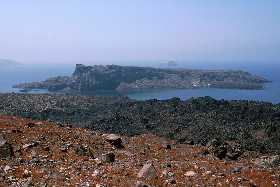
Aerial image of Kameni islands in 2003. Taken from west with Palea Kameni Island in front of Nea Kameni. Thira town on caldera rim in background. |
 |
|
Kameni Islands viewed from southwest (Stitched Panorama Image) |
 |
 |
|
Landing site for tourist boats on Nea Kameni - Dark lava from 1866-1870 eruption in background |
View to Palea Kameni from center of Nea Kameni |
 |
 |
|
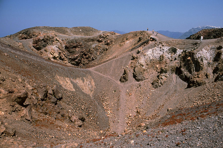
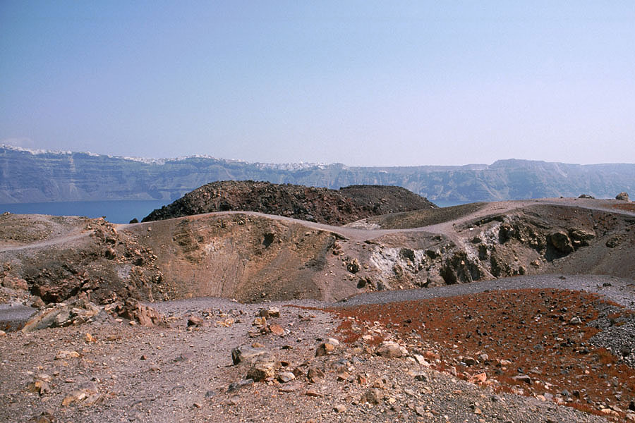
Recent crater on Nea Kameni |
Crater with dark lava dome over one of vents of 1866-1870 eruption behind |
 |
 |
 |
|
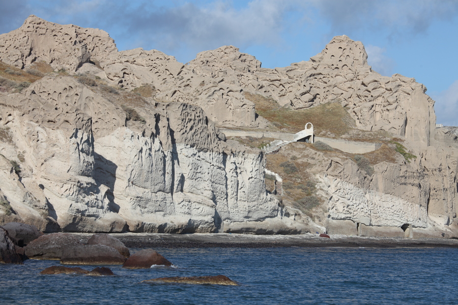
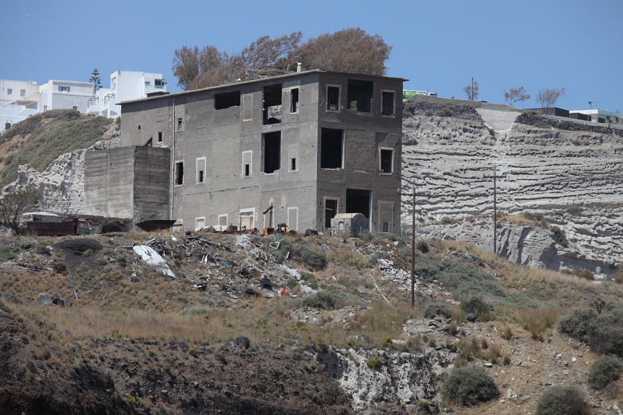
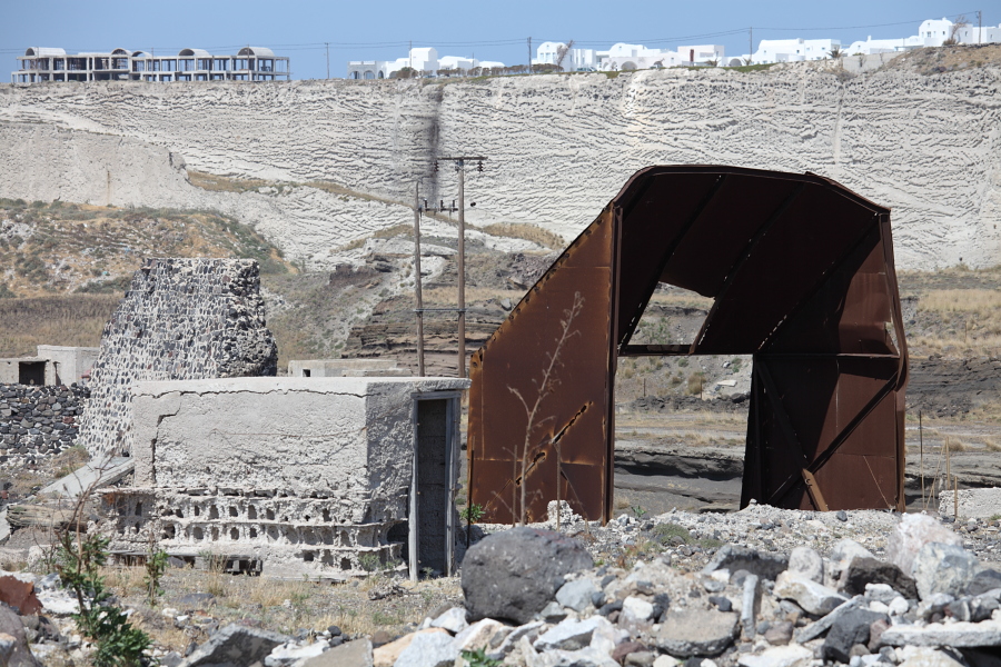
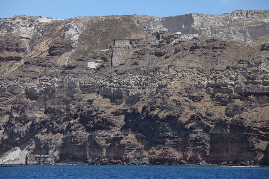
Building at Fira quarry |
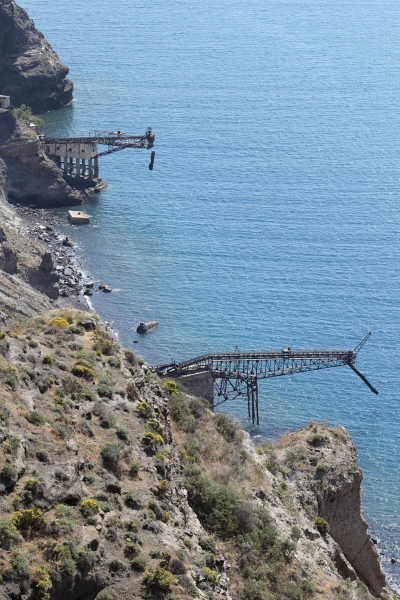
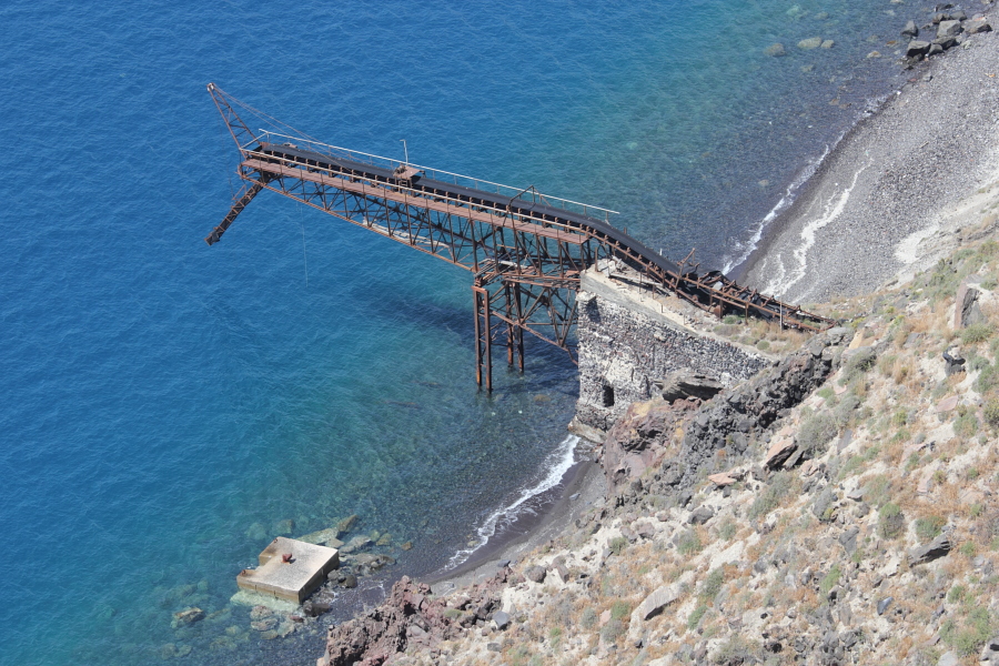
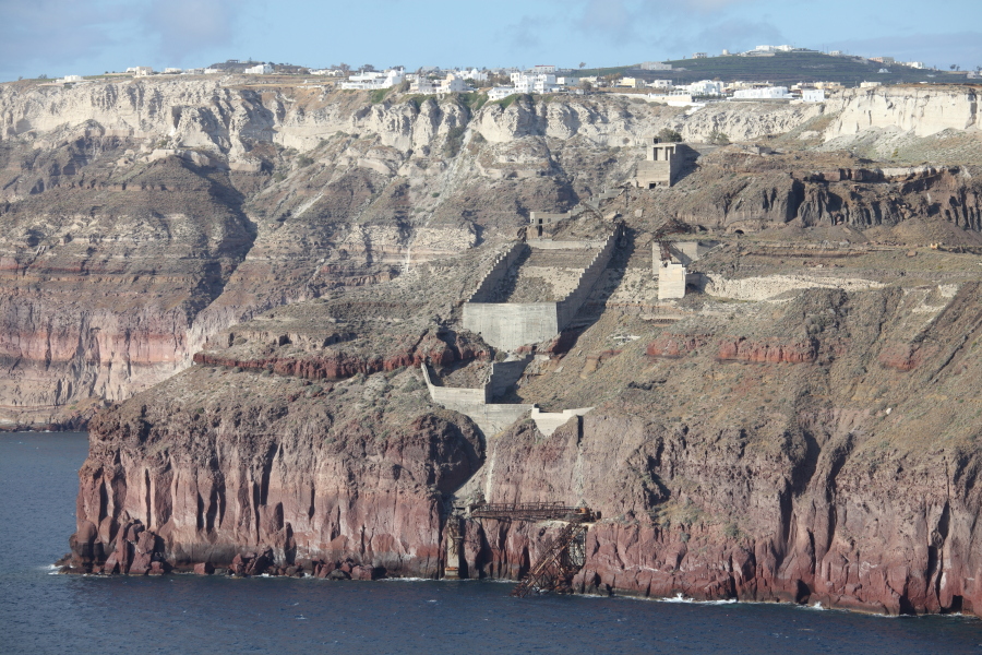
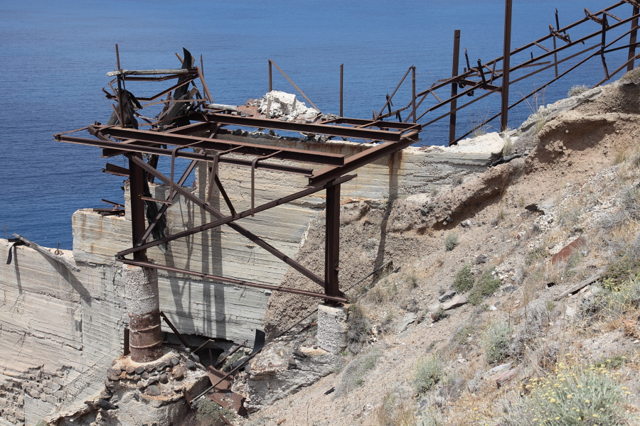
Decaying ship loading ramps below Fira quarry |
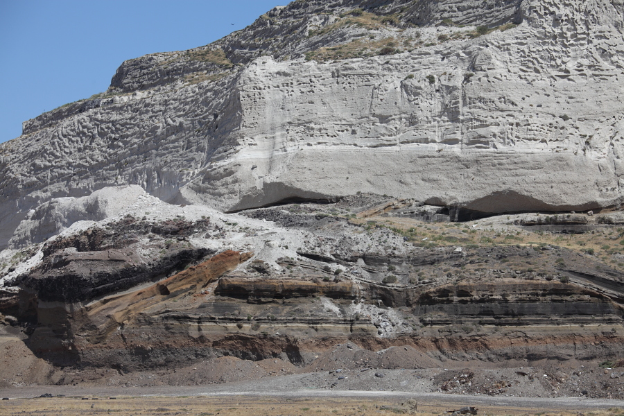
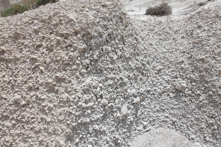
Massive deposits mined at Fira quarry |
 |
 |
|
Deposits of previous eruptions buried by Minoan pumice exposed at Fira quarry |
Top of sieve for size-sorting pumice, Fira quarry |
 |
 |
 |
|
Decaying ship loading ramps below Fira quarry |
 |
 |
|
Decaying ship loading ramp below Fira quarry |
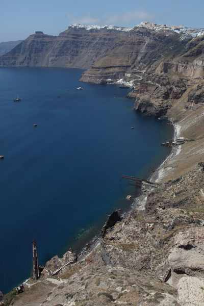
Quarry with ship-loading facility overlooking Athinios from north |
 |
 |
 |
|
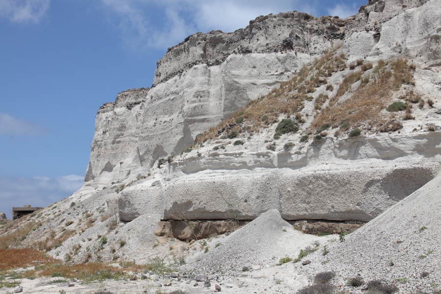
Mavromatis pumice quarry, view from SW |
Mavromatis pumice quarry with ship-loading facility |
Mavromatis pumice quarry, Minoan deposits |
 |
 |
|
Ruins of pumice storage facilities |
Remains of conveyor belts |
 |
 |
 |
|
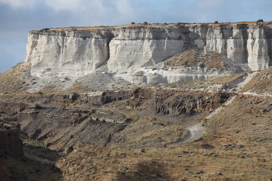
Fine pumice deposit at base of cliff |
Cliff with ash / pumice deposits of Minoan eruption |
Cliff with ash / pumice deposits of Minoan eruption |
 |
 |
|
Main town of Fira perched on eastern caldera rim |
Thira port with Fira town above |
 |
 |
 |
|
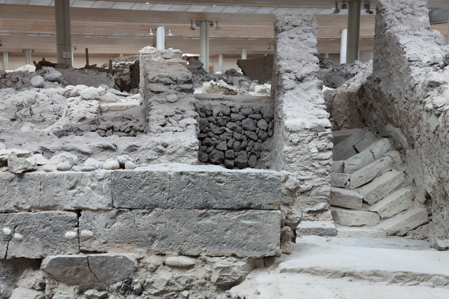
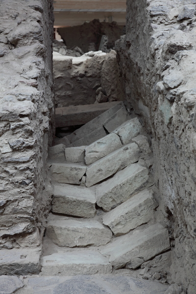
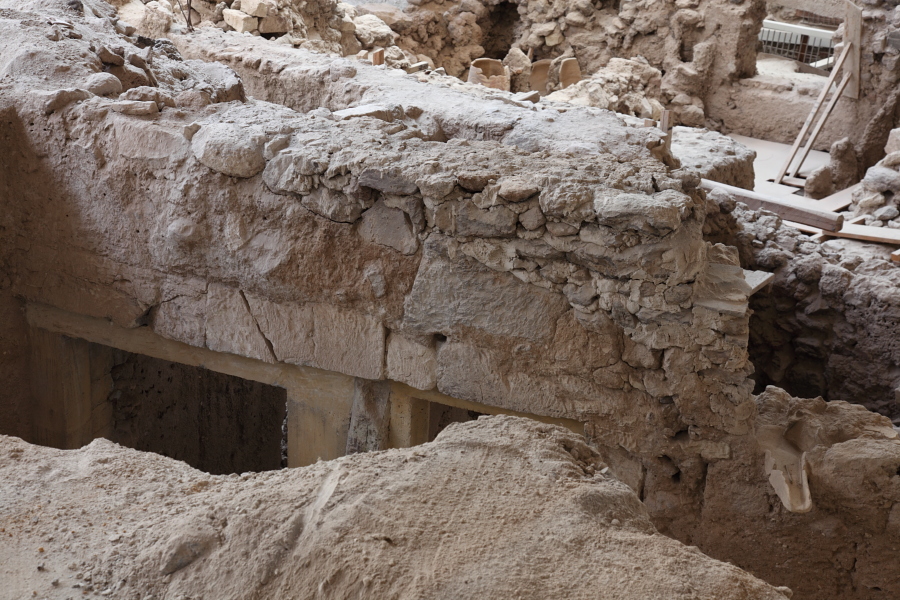
Broken staircase is evidence of earthquake damage, probably preceeding Minoan eruption |
Broken staircase |
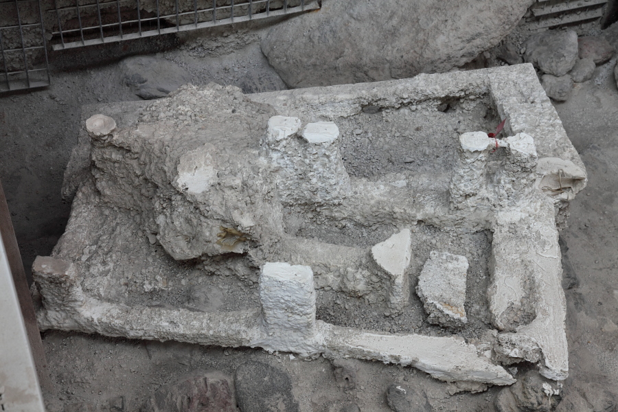
Bedframes found outside house - suggest process of cleaning after first events, before complete abandonment |
 |
 |
|
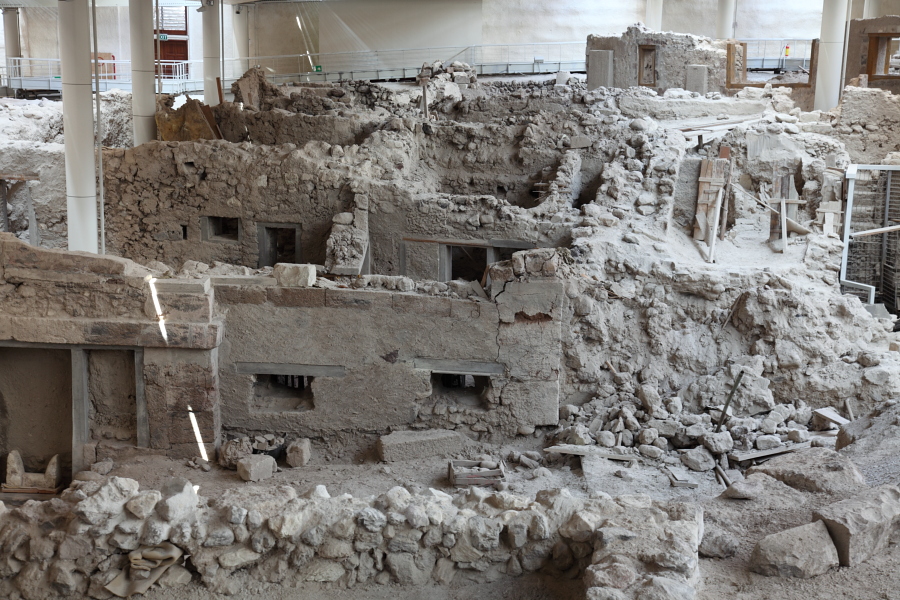
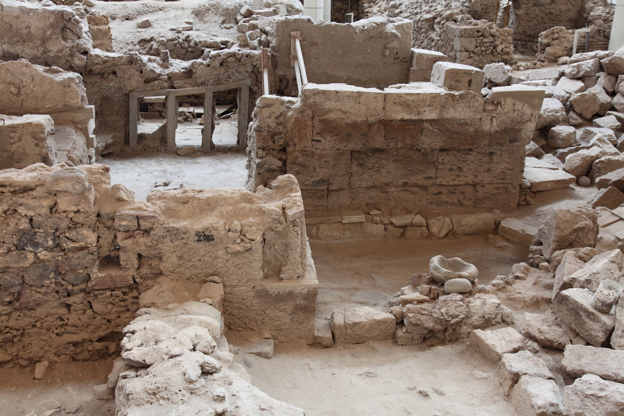
Various buildings |
Building with roof guttering |
 |
 |
|
Chamber with many storage vessels |
Various buildings |
 |
 |
|
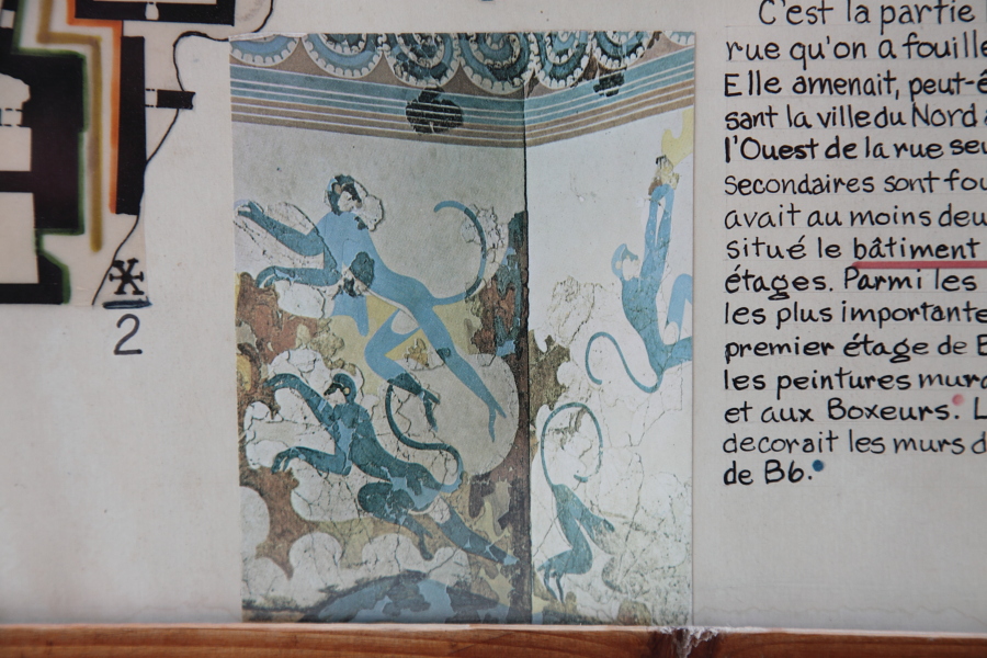
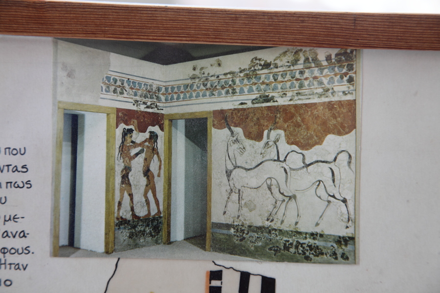
Explanatory sign showing murals found at Akrotiri, now in museums |
Explanatory sign showing murals found at Akrotiri, now in museums |