|
 |
 |
|
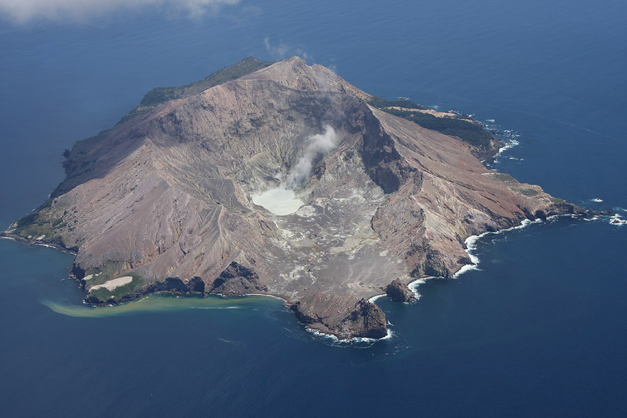
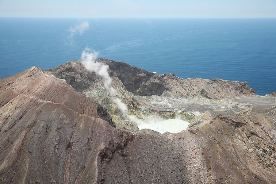
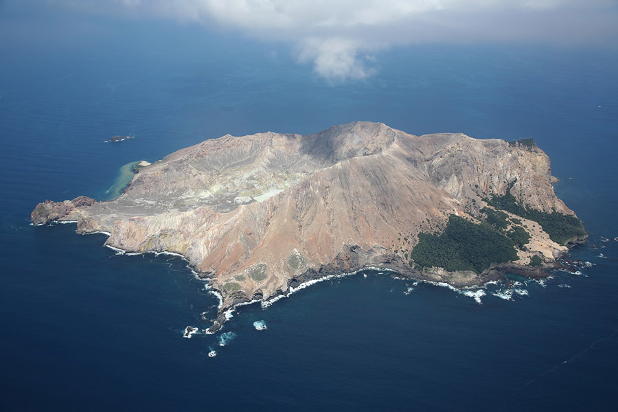
White Island viewed from SE, Nov. 2007. |
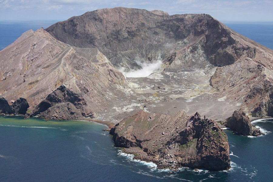
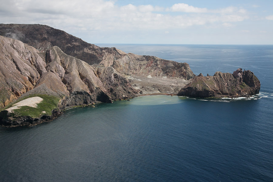
White Island with Volckner Rocks behind (top right), Nov. 2007 |
 |
 |
|
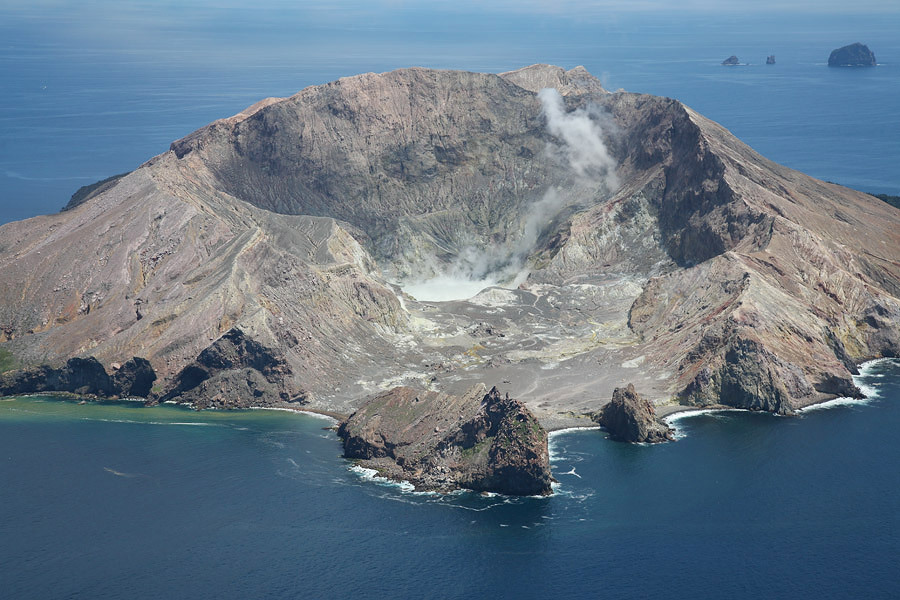
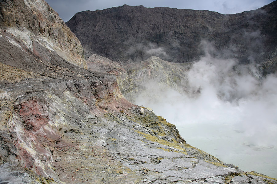
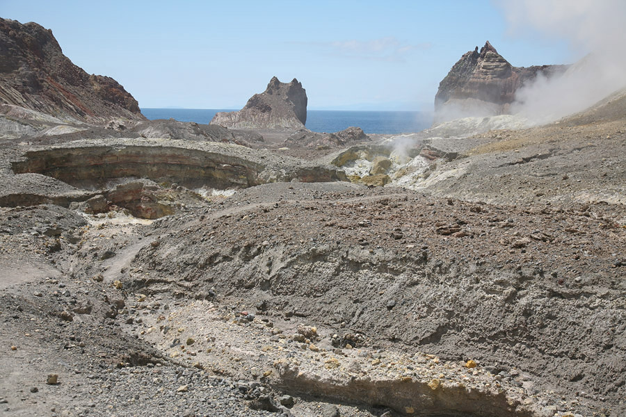
White Island Western Subcrater with Lake, Nov. 2007 |
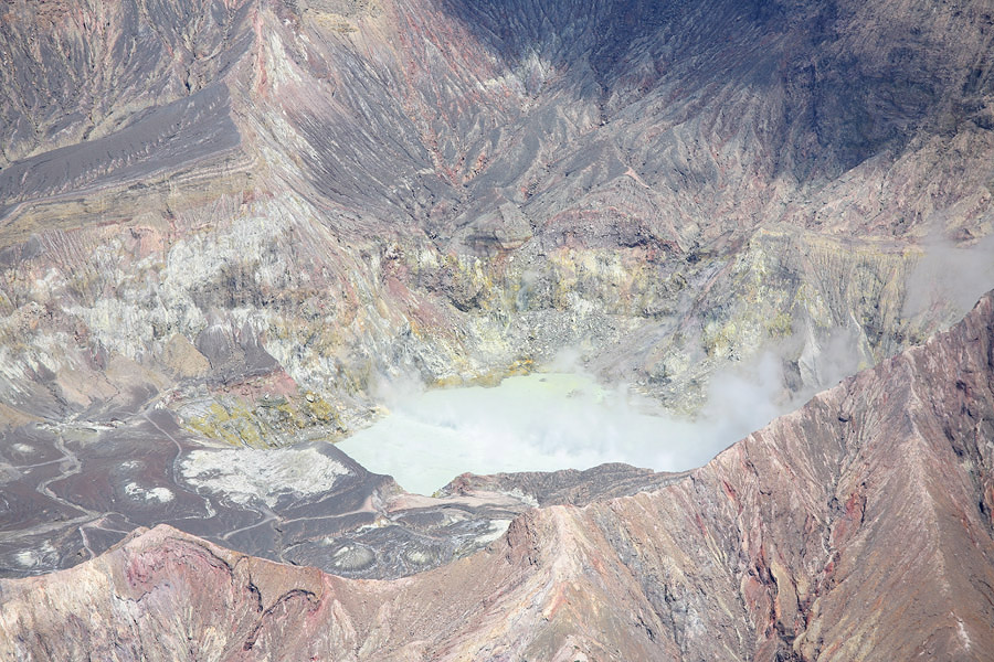
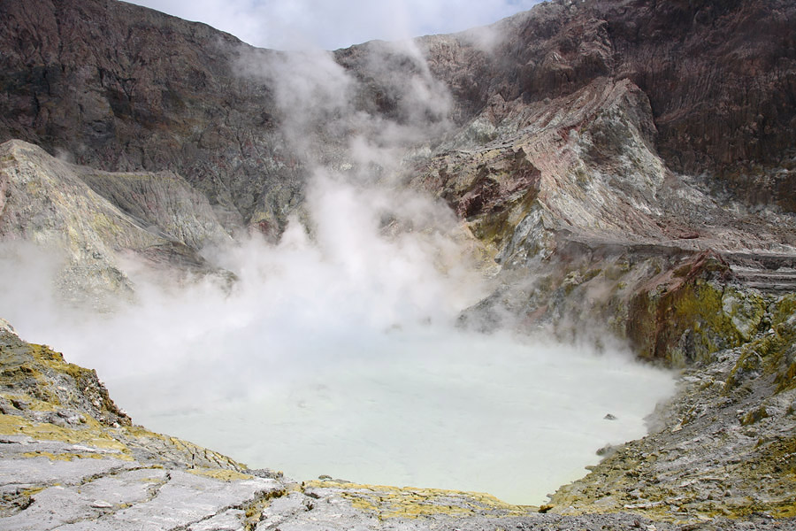
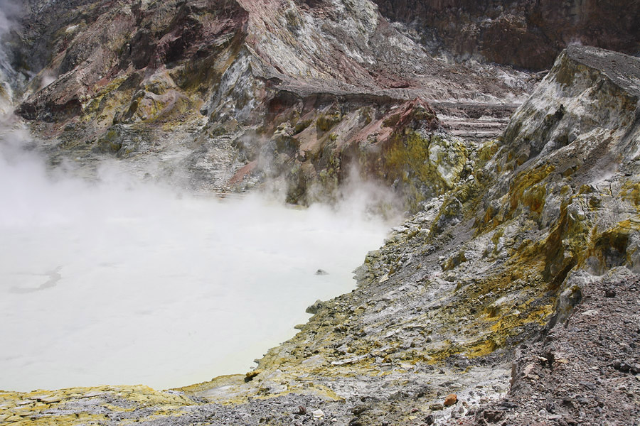
White Island Crater Lake, Nov. 2007 |
 |
 |
|
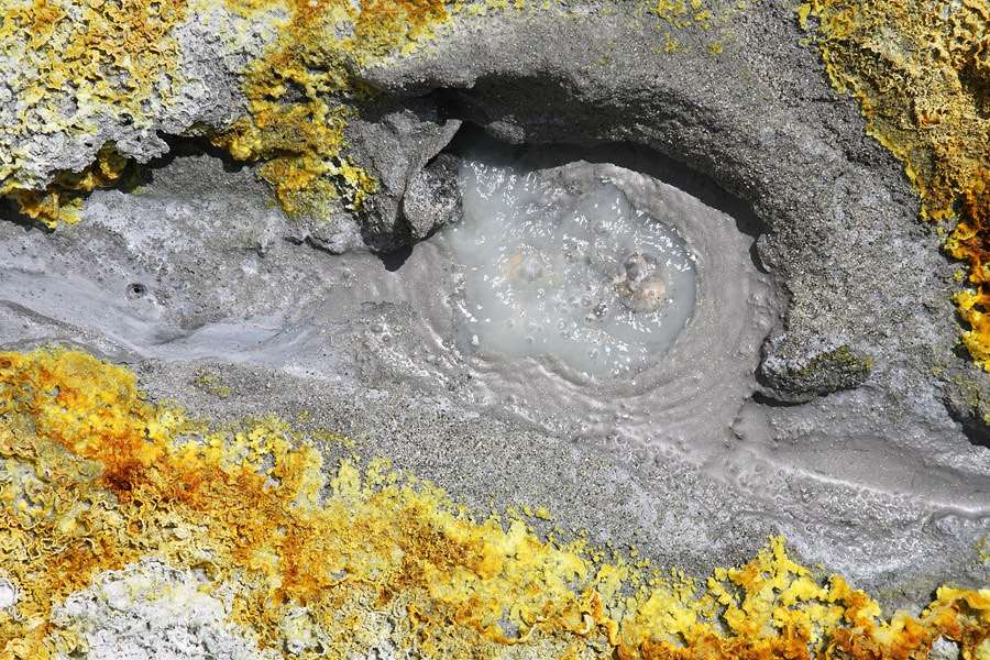
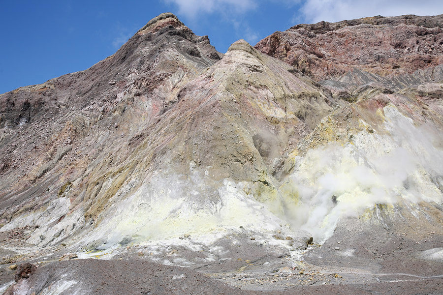
Hot Spring, White Island Central subcrater |
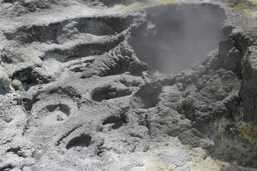
Mudpots, White Island central subcrater |
 |
 |
 |
|
Hot Spring, White Island Central subcrater |
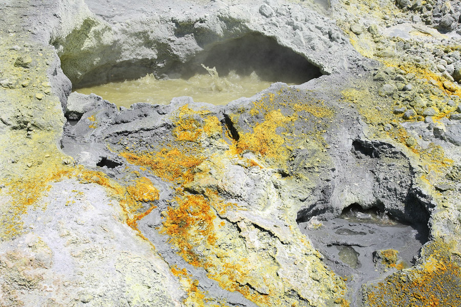
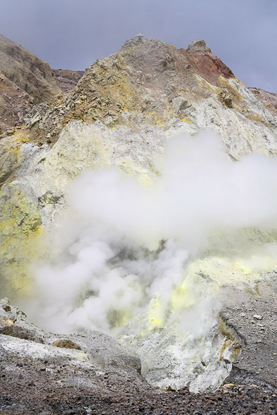
Fumarole, White Island Central subcrater |
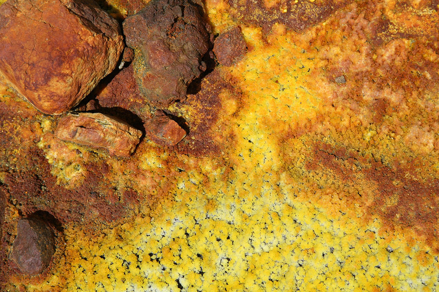
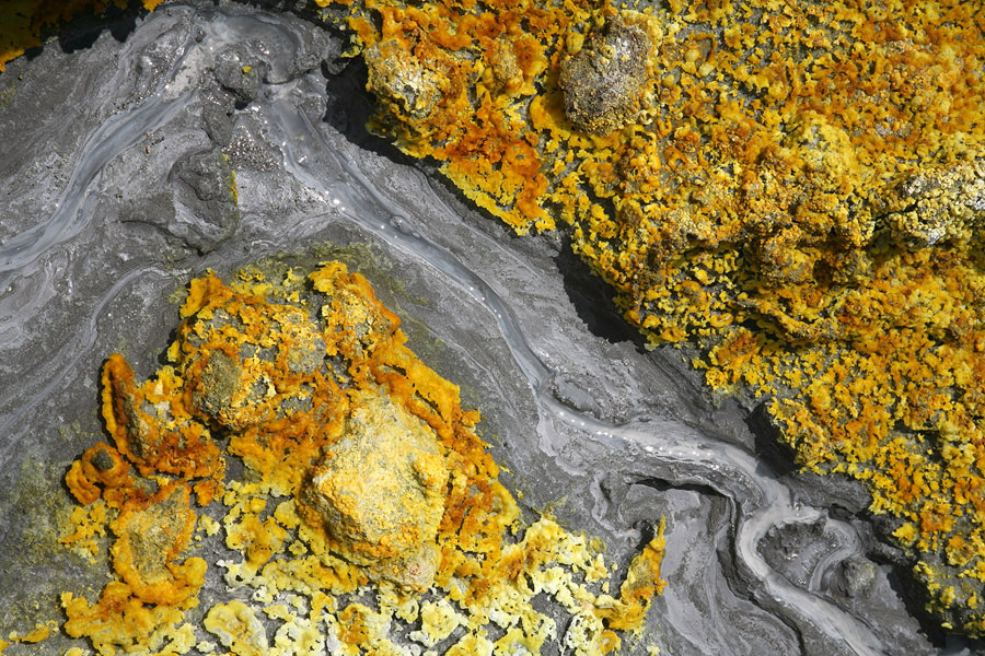
Mineral deposits, White Island Central subcrater |
 |
 |
|
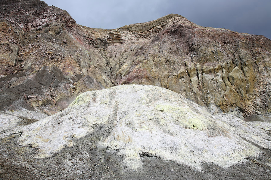
1914 Collapse Scar (top middle) |
Hummocks left by 1914 collapse on crater floor |
 |
 |
|
Sulphur Bay (where water discoloured) and Gannet colony (left) |
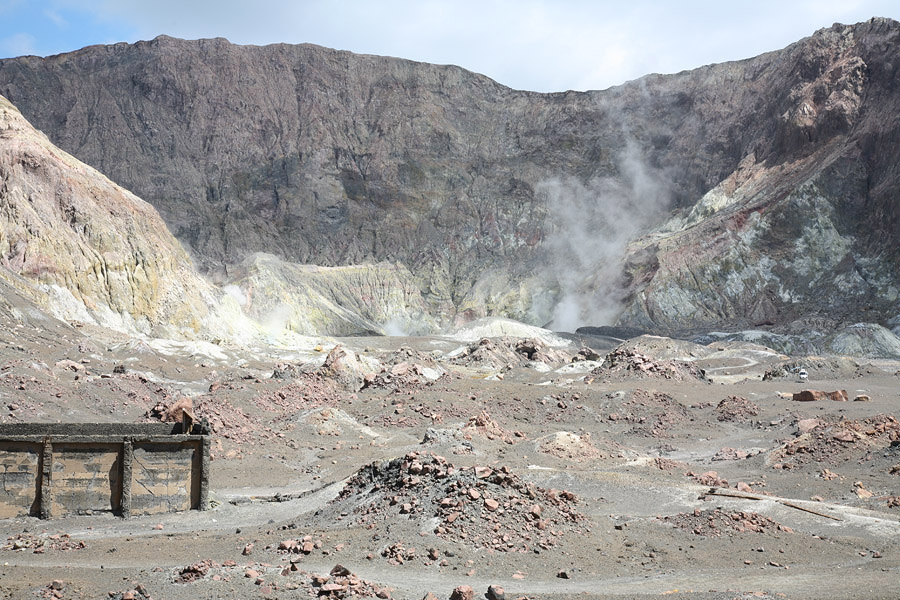
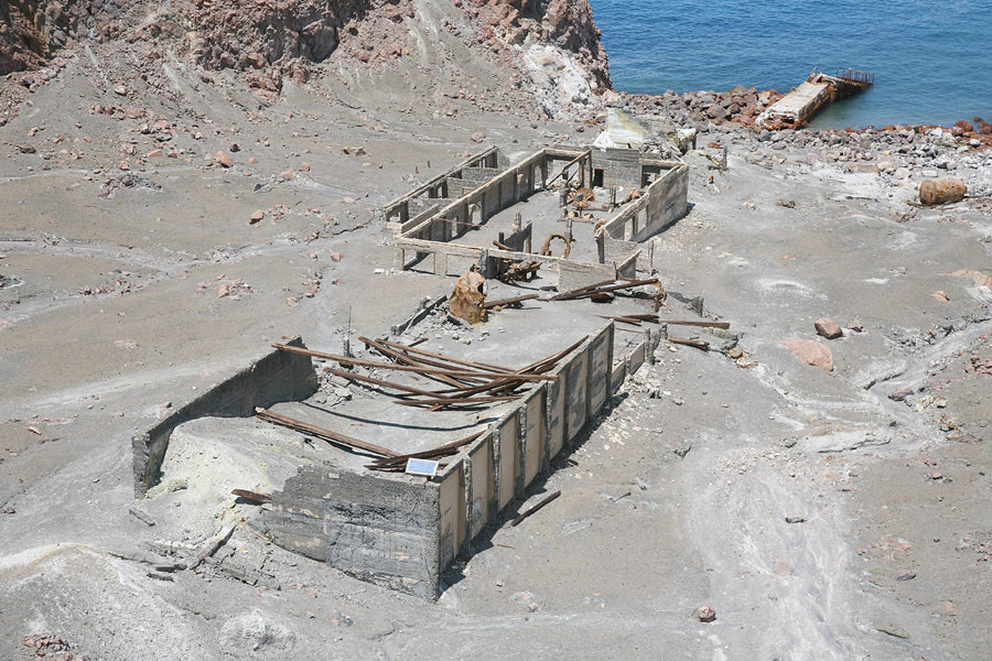
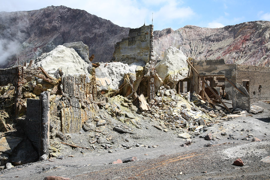
Ruins of 1923-1933 mining operation |
 |
 |
 |
|
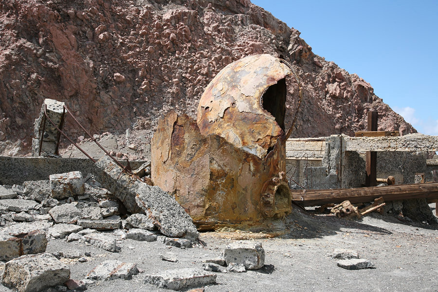
Remains of retort in sulphur processing factory |
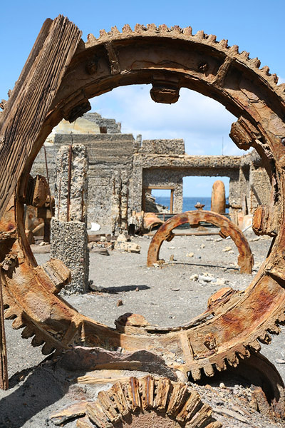
Coroded machinery in sulphur processing factory |
Sulphur storage bunker |
 |
 |
 |
 |
 |
 |
 |
 |