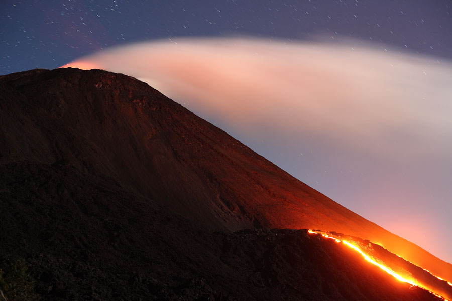

Nighttime view of Pacaya's MacKenney Cone. Summit incandescence and lava flows from shield on flank are visible. Dec. 2007
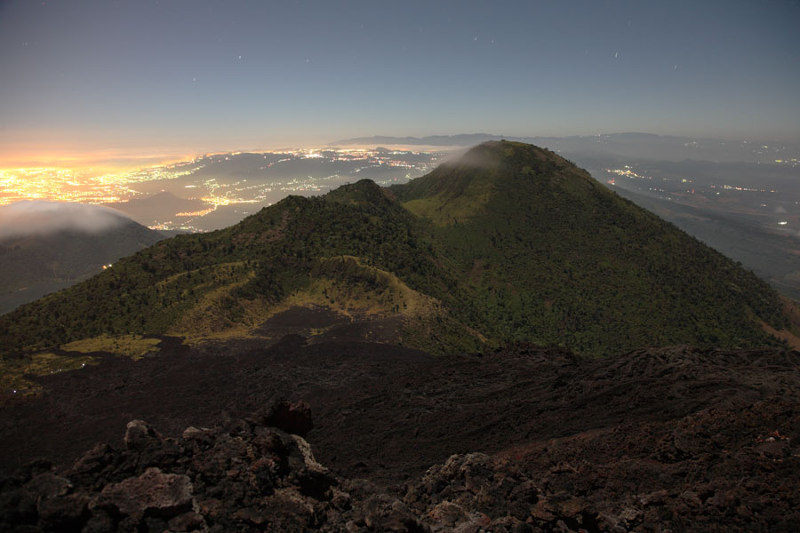
View further to the left relative to adjacent image. In background from right to left: Agua, Acatenango and Fuego volcanoes.
|
|
|
Nighttime view of Pacaya's MacKenney Cone. Summit incandescence and lava flows from shield on flank are visible. Dec. 2007 |
View further to the left relative to adjacent image. In background from right to left: Agua, Acatenango and Fuego volcanoes. |
 |
 |
|
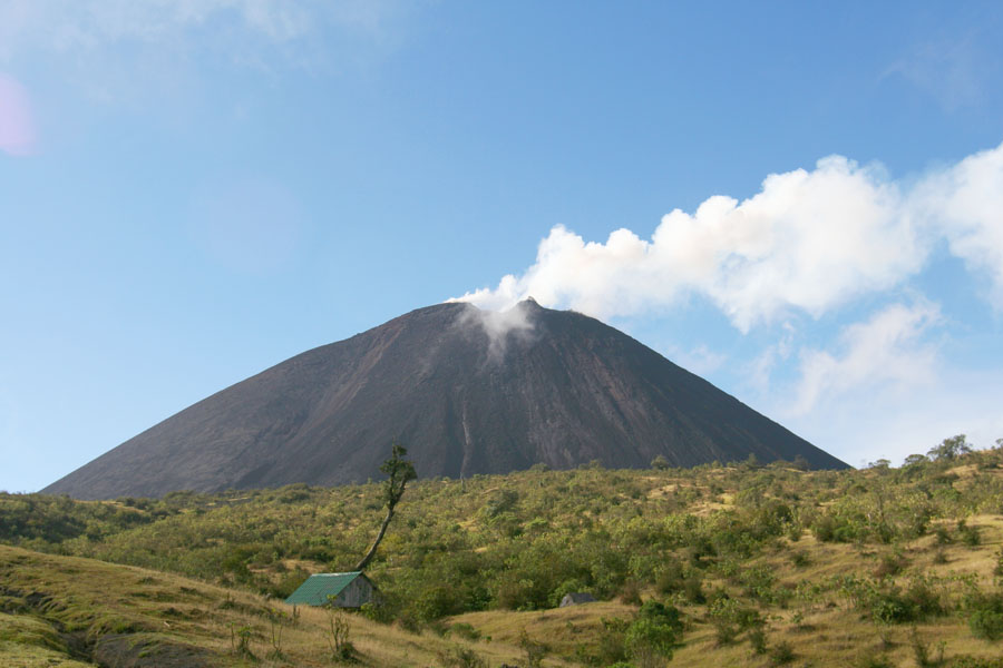
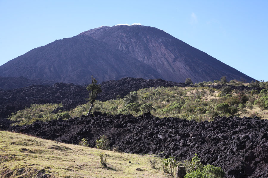
MacKenney Cone viewed from main trail in 2005 |
Similar view to picture on left in 2007. A new lava shield has formed on left flank and lava flows have reached trail during 2006 and 2007. |
 |
 |
|
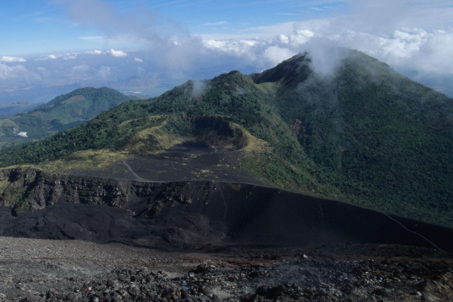
View from summit to Cerro Grande lava dome in 2005. Flank of collapse scar is still evident in foreground. |
Nighttime image showing similar area as image on left but in Dec.2007. Note that lava flows have completely filled the area between MacKenney Cone and the collapse scar. |
 |
 |
|
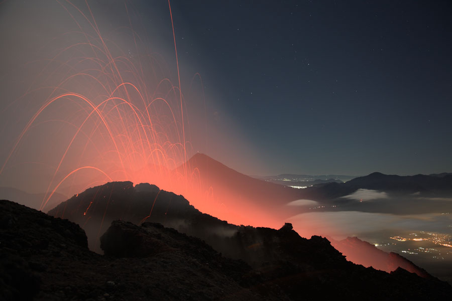
Mild strombolian activity from active summit crater of Pacaya, Dec. 2007 |
Mild strombolian activity from active summit crater of Pacaya, Dec. 2007 |
 |
 |
|
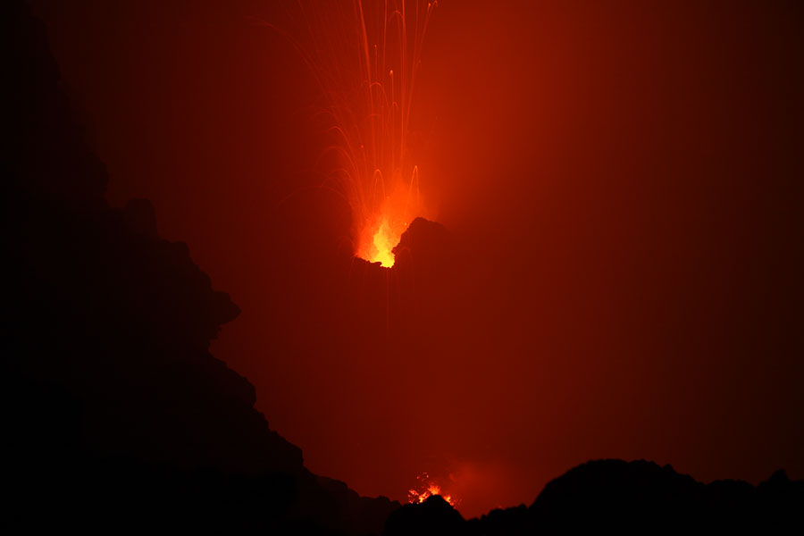
Inner wall of summit crater lit up by incandescent vents. Agua volcano in background at top left. |
Inside of summit crater containing at least 2 active vents, Dec. 2007 |
 |
 |
 |
|
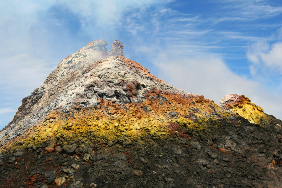
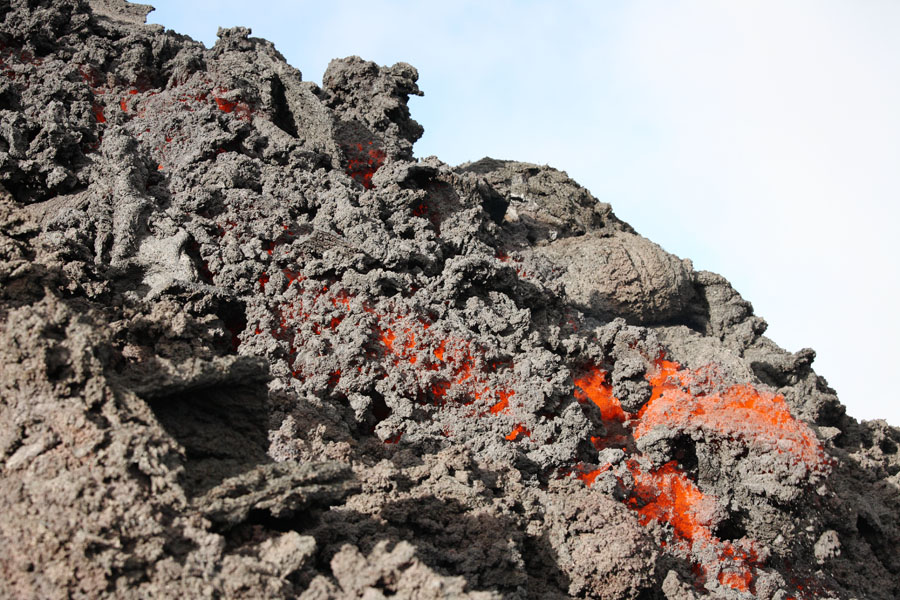
Cone with fumarolic deposits on summit of Pacaya, 2005 |
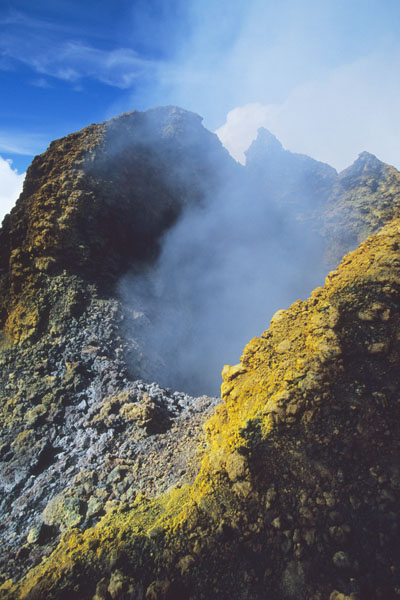
Vent of cone, 2005 |
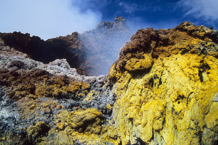
Vent of cone, 2005. Reported to show incandescence at night. |
 |
 |
|
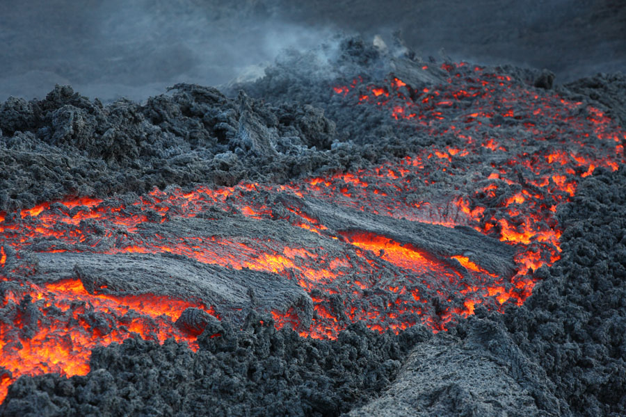
Lava flows from lava shield on N flank of MacKenney Cone, Dec. 2007 |
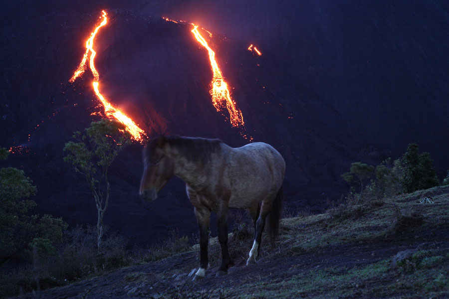
Wild horse infront of lava flows during the night. |
 |
 |
|
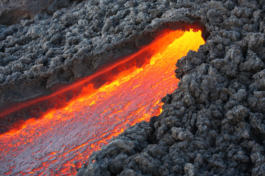
Source of lava flow shown on left in image above. |
Looking at the flow source from above it. |
 |
 |
|
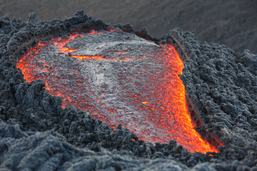
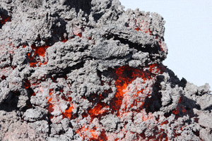
Lava flow descending down flank and gradually cooling |
Front end of lava flow. Lava is partially solidified and moves slowly. |
 |
|
Animation of advancing lava flow front (about 10x normal speed) |