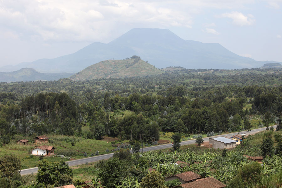

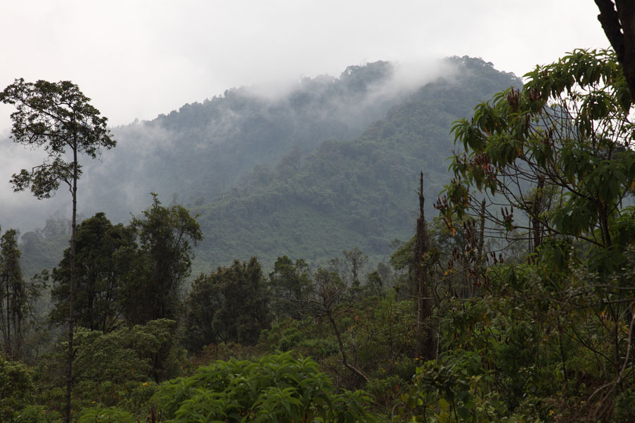
View to SE side of Nyiragongo from Ruanda
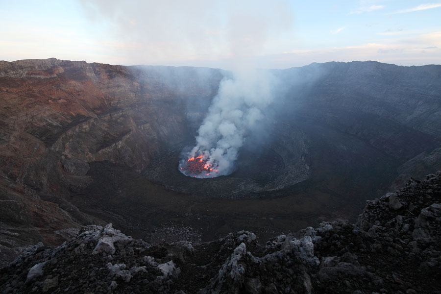
Nyiragongo lava lake illuminating haze / steam over summit
|
|
|
View to SE side of Nyiragongo from Ruanda |
Nyiragongo lava lake illuminating haze / steam over summit |
 |
 |
|
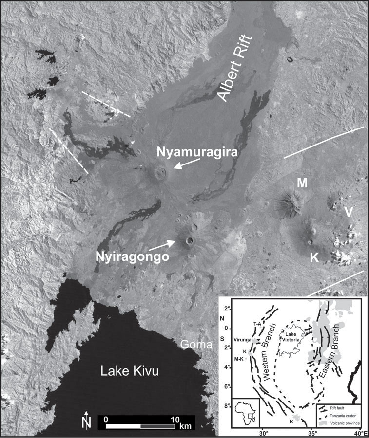
Fig.1 Annotated Satellite Image of Nyiragongo and its Surroundings. Solid white lines: Bay of Bufumbira, Dashed white lines: Kamatembe Rift. Inset Shows East African Rift System in the Area Surrounding Nyiragongo. With kind permission of T. Platz. |
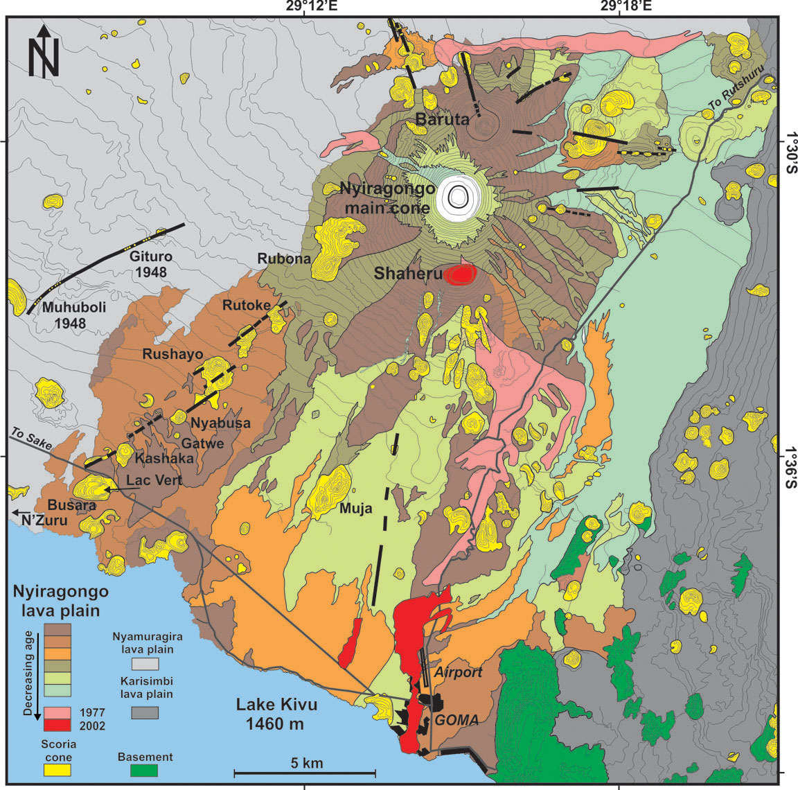
Fig.2 Geological Map of Nyiragongo Volcano following the 2002 eruption. With kind permission of T. Platz. It is noted that compared to other maps, this map appears not to show the full extent of the 2002 lavas, especially insofar as they were erupted over the 1977 products. |
 |
 |
|
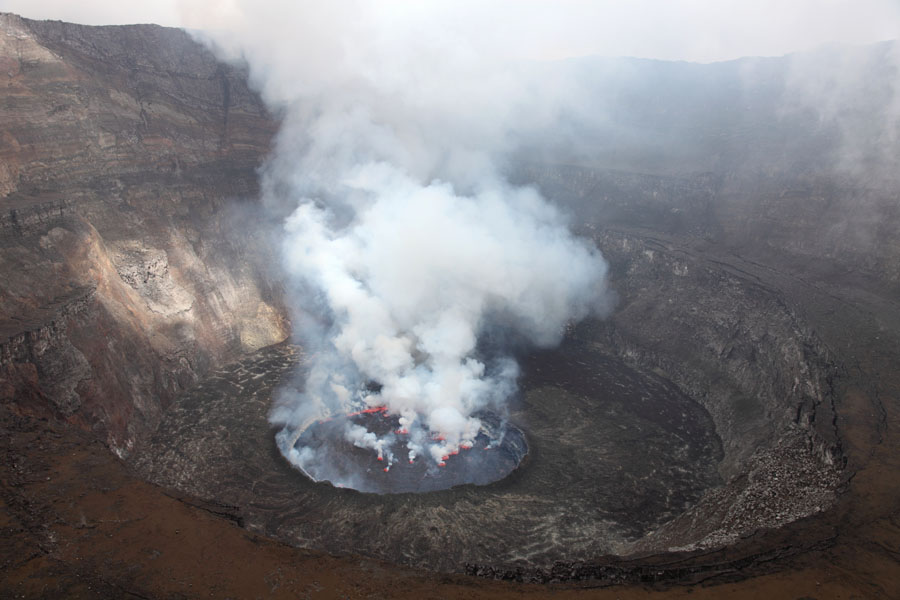
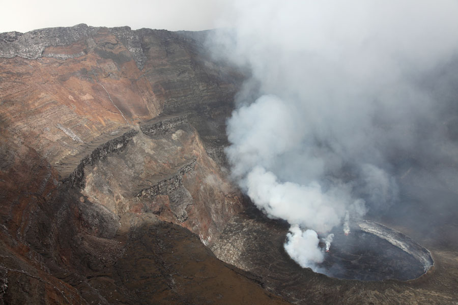
Nyiragongo crater with lava lake inside, Jan. 2011 |
Nighttime view of Nyiragongo crater |
 |
 |
|
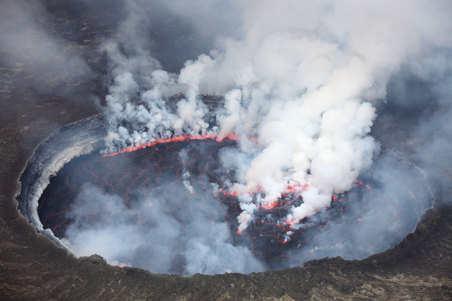
Lava lake sitting in almost filled pit left behind following 2002 eruption |
Lava lake with activity along side (back side) and within lake |
 |
 |
|
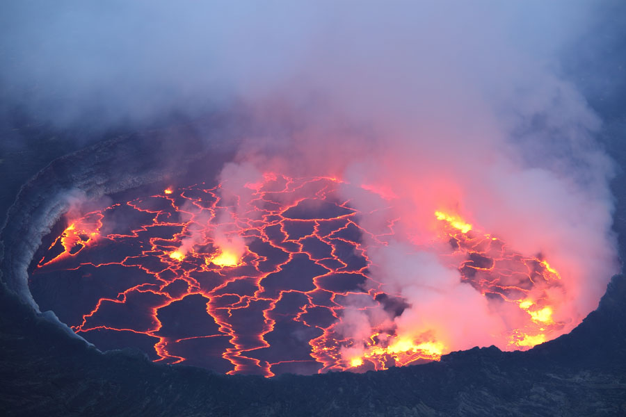
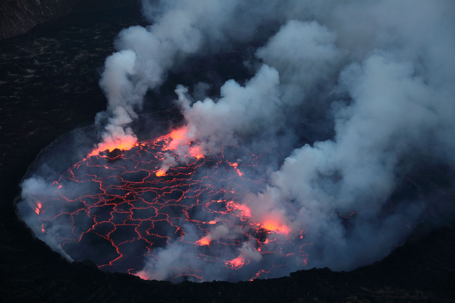
Evening view of lava lake |
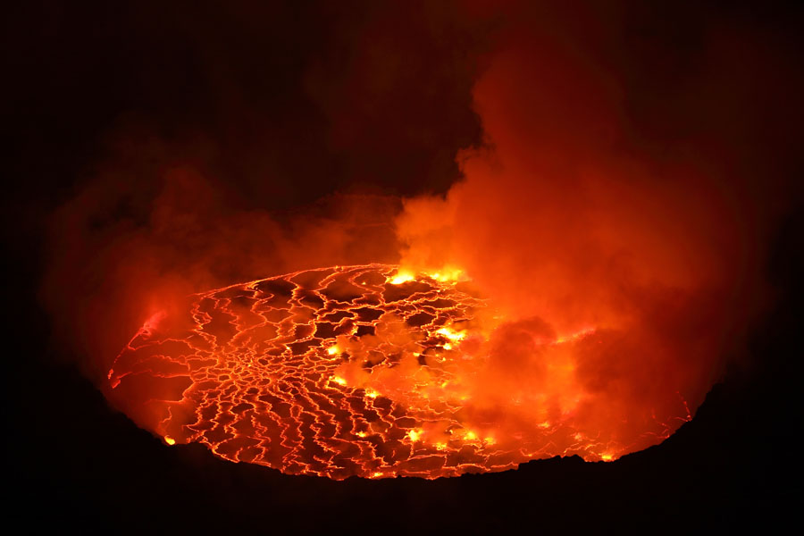
Nighttime view of lava lake |
 |
 |
|
Evening view of lava lake |
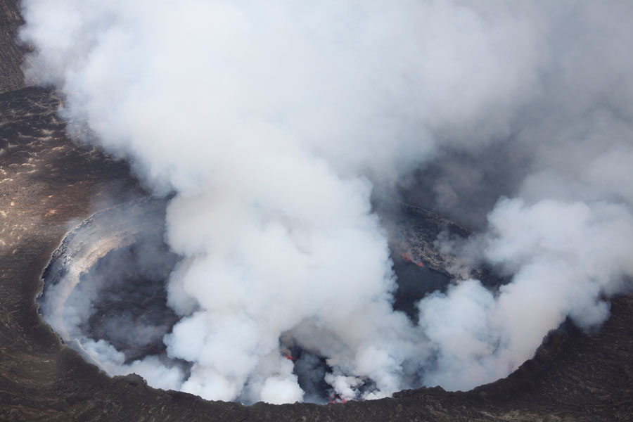
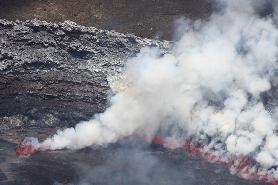
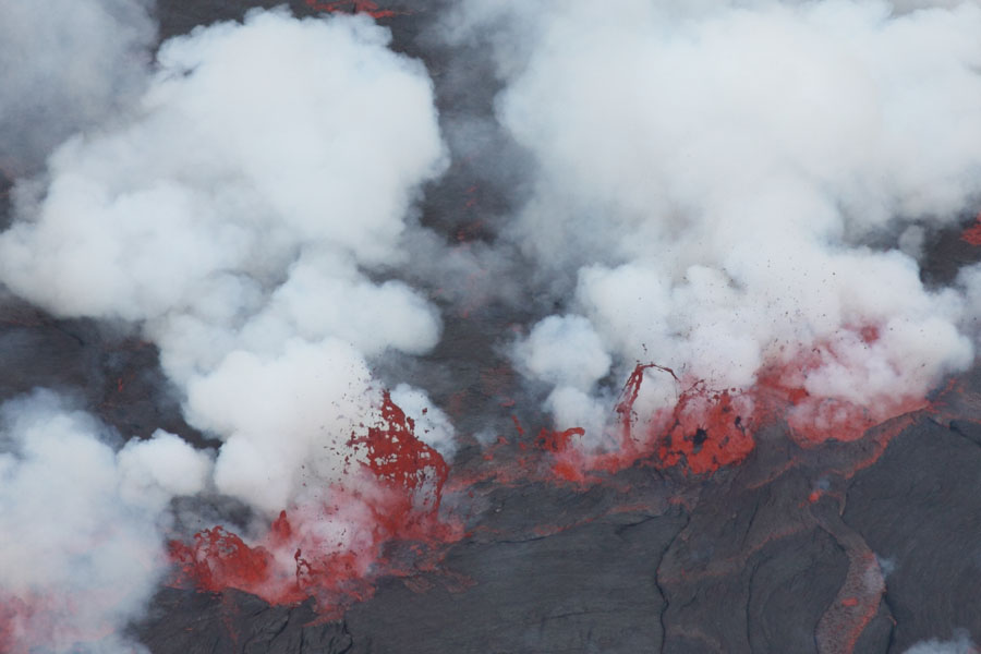
Intense degassing during phase of high lake activity |
 |
 |
|
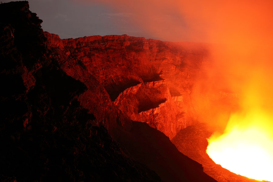
Nighttime view of western crater wall |
Nighttime view of eastern crater wall |
 |
 |
|
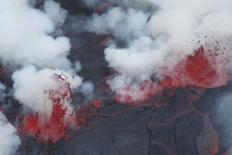
Lava fountains near pit crater wall |
Lava fountains distributed across the lake surface |
 |
 |
|
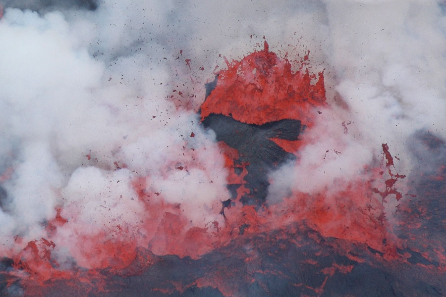
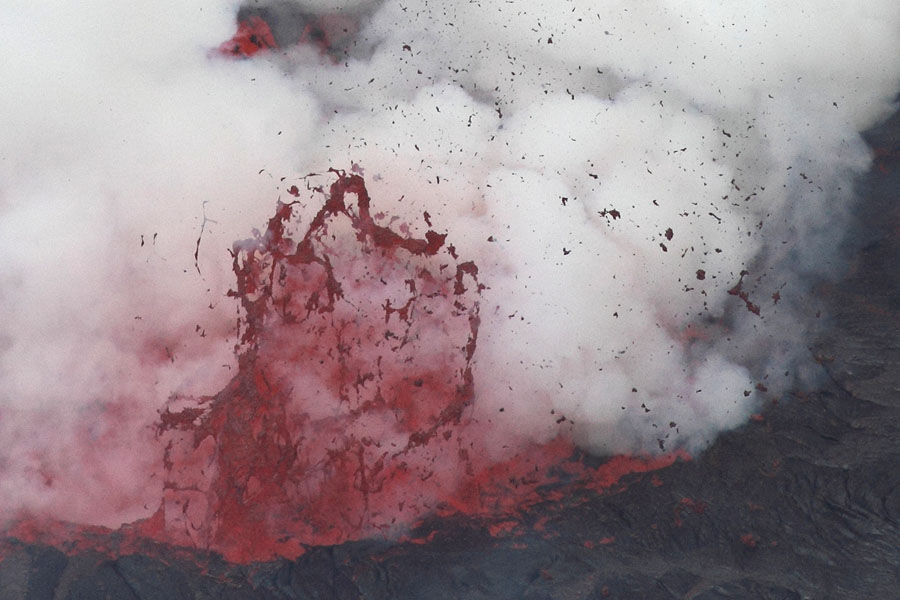
Lava fountain lifts up piece of lake crust |
Violent lava fountaining |
 |
 |
|
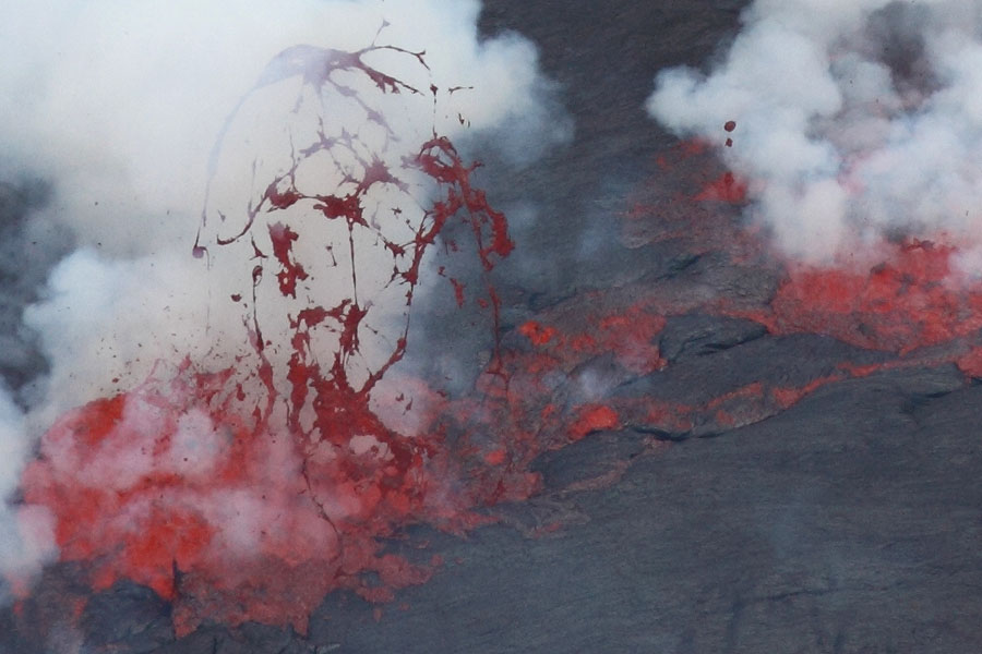
Lava fountaining |
Lava fountain draws lava into thin threads - formation of Pele's hair |
 |
 |
|
Crust of lake opens at edge allowing degassing |
Activity from small fountain in lake and active zone at lake edge |
 |
 |
|
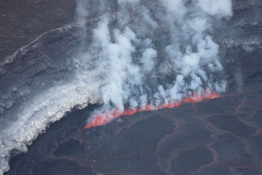
Fountaining is generally accompanied by vigorous degassing |
Lava fountain and associated degassing |
 |
 |
 |
|
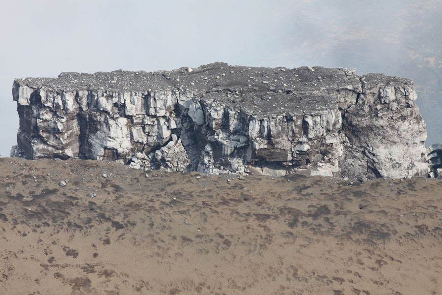
Steep upper walls of crater |
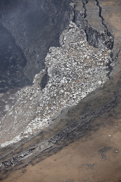
Unstable terrace in crater |
Sections of terrace have detached and lean inwards |
 |
 |
 |
|
Inner crater wall with remains of terraces from earlier lava lake activity. Arrow indicates position of one of the man dykes visible in crater wall. |
Lake and W crater wall. |
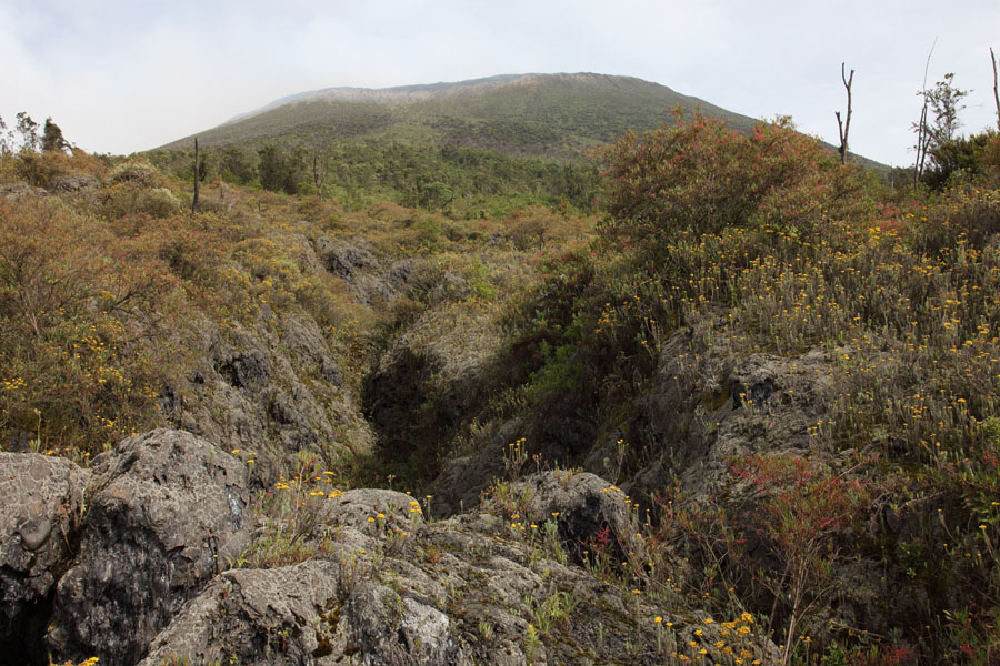
Old lava channel on upper flank. Evidence for high lava levels in past. |
 |
 |
|
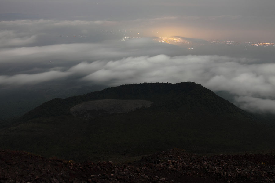
Shaheru crater viewed from the climbing track |
Nighttime view over Shaheru crater showing the city lights of Goma |
 |
 |
|
Shaheru crater viewed from summit. Note: 2002 fissure below left side of crater and lava field in crater from 1977 eruption. |
Upper section of 2002 fissure with summit area in background. |
 |
 |
 |
|
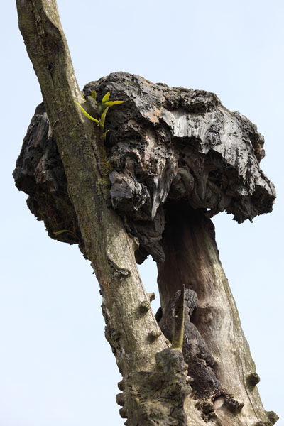
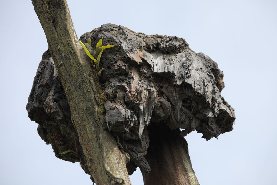
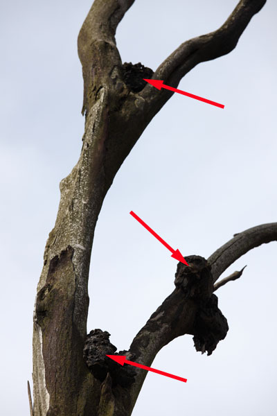
Lava nests in trees resulting from vigorous fountaining at onset of 2002 eruption. |
 |
 |
 |
|
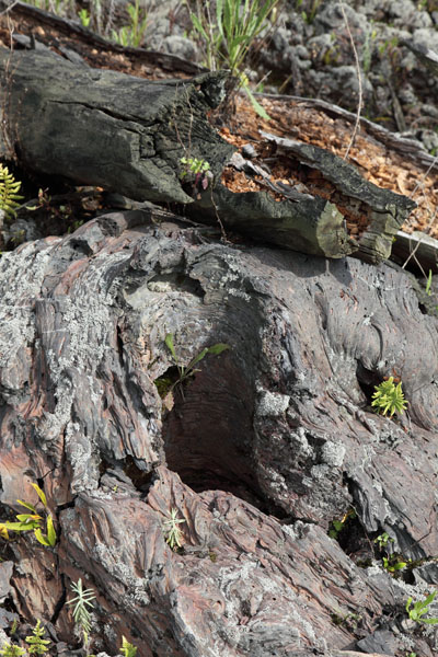
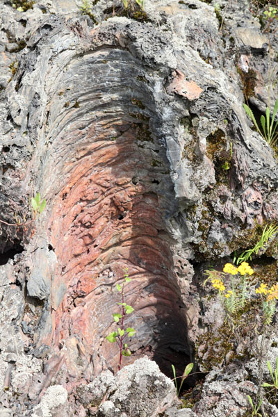
Tree mould with remains of tree behind. |
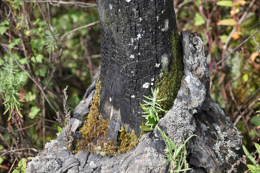
Lava collar around tree trunk. |
Tree mould left behind after tree stuck in lava decayed. |
 |
 |
|
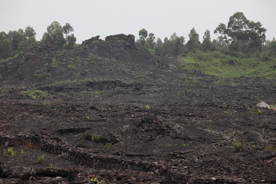
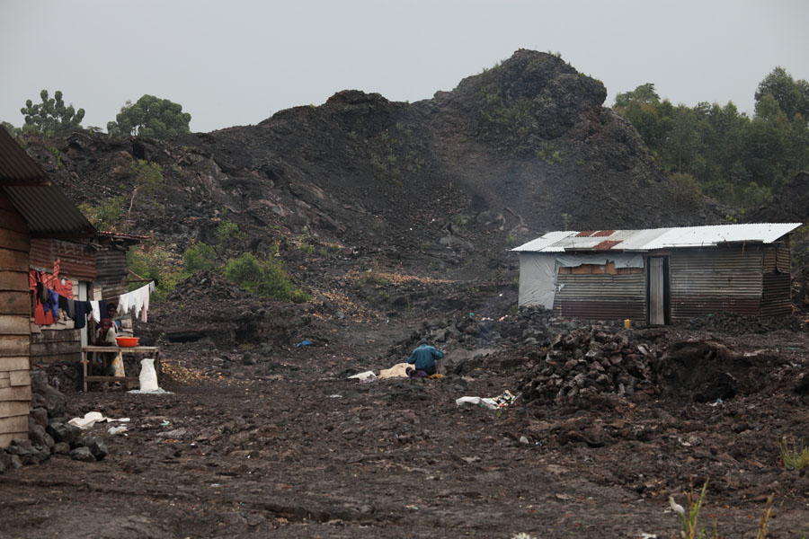
Cone and lava flow field along V8 vent system of 2002 |
Most southerly prominent cone on V8 vent system of 2002 |
 |
 |
 |
|
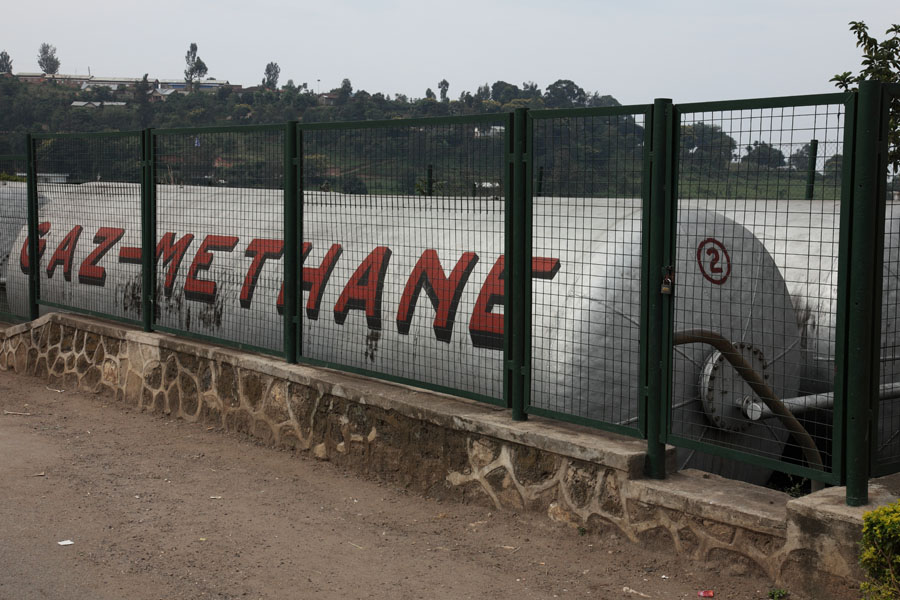
Bralirwa brewery aside lake Kivu |
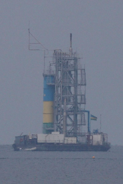
Contour Globals KivuWatt project rig for gas extraction in Lake Kivu |
Methane from lake was used at the brewery from 1962 to 2004 |
 |
 |
|
Bullet-ridden National Park sign |
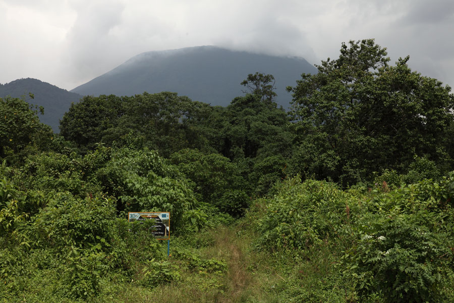
Start of path to Nyiragongo at park entrance |
 |
 |
|
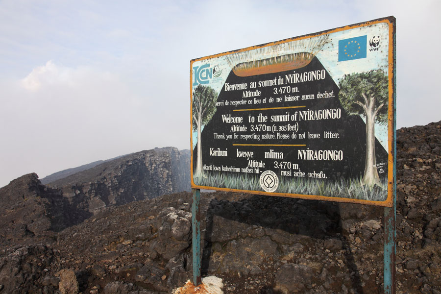
Large sign on crater rim |
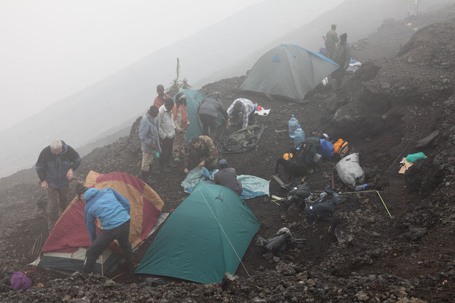
Camp site on terrace at crater rim. Wooden huts will be placed here in mid-2011 |
 |
|
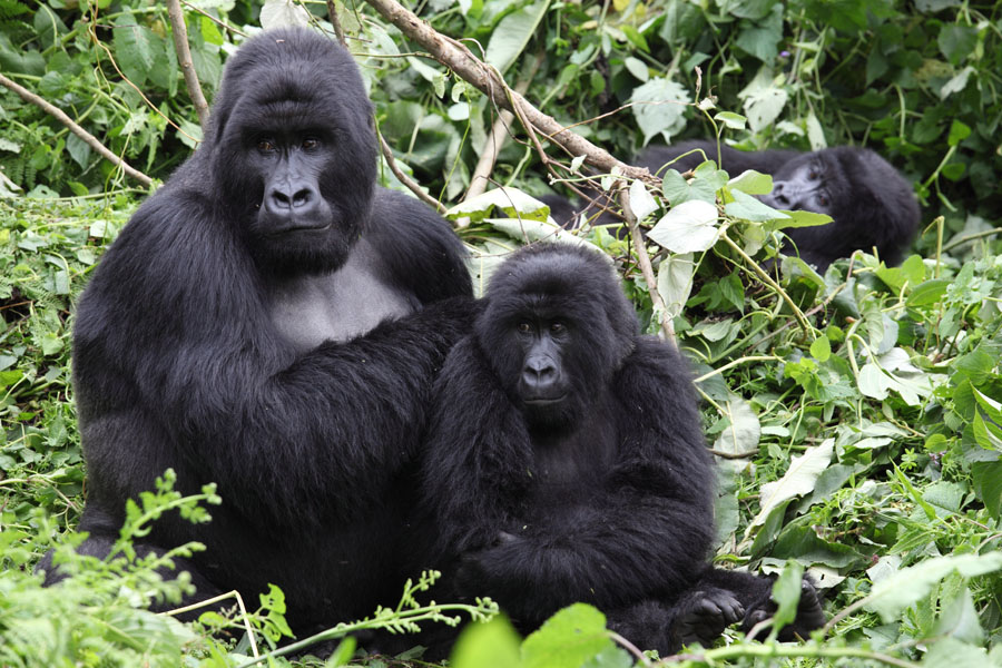
Gorillas in Virunga National Park |