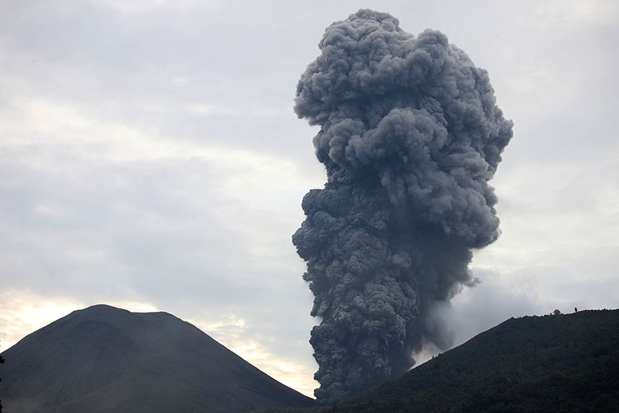

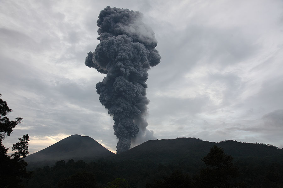
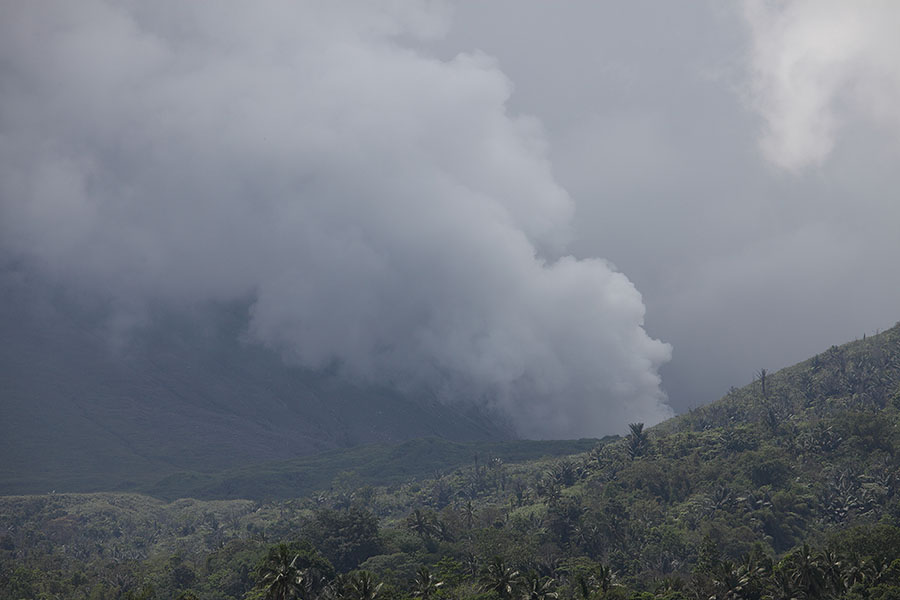
Powerful ash eruption, evening 06.12.2012
|
|
|
|
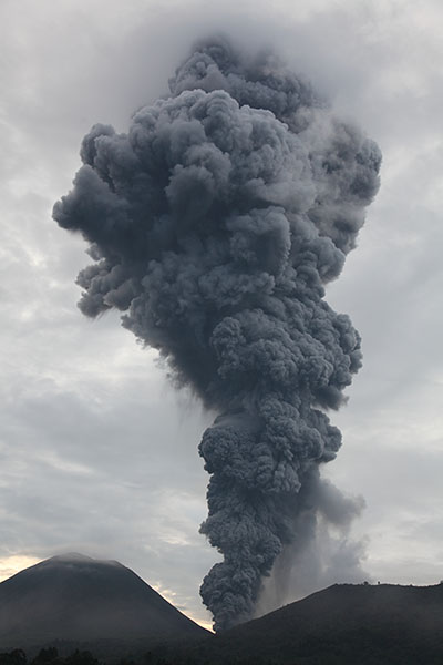
Powerful ash eruption, evening 06.12.2012 |
 |
|
Map of Molucca Sea Region with Collision Zone and Volcanic Arcs indicated. Based on data from Google Maps, MacPherson et al. 2003 (Geol. Soc. London, Special Publ. 219, p.207-220), Siahaan et al. 2005 (Proc. World Geol. Congress, 5pp). Note: Only selected extinct volcanoes have been included in the map, many others exist in the Arcs. |
 |
 |
 |
|
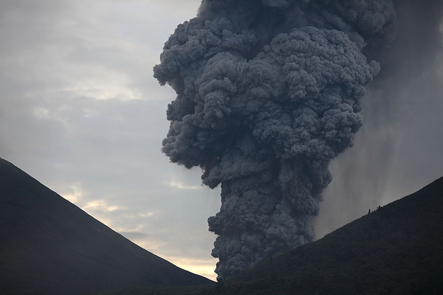
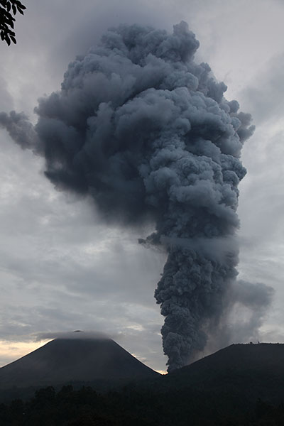
Powerful ash eruption, evening 06.12.2012 |
 |
 |
 |
|
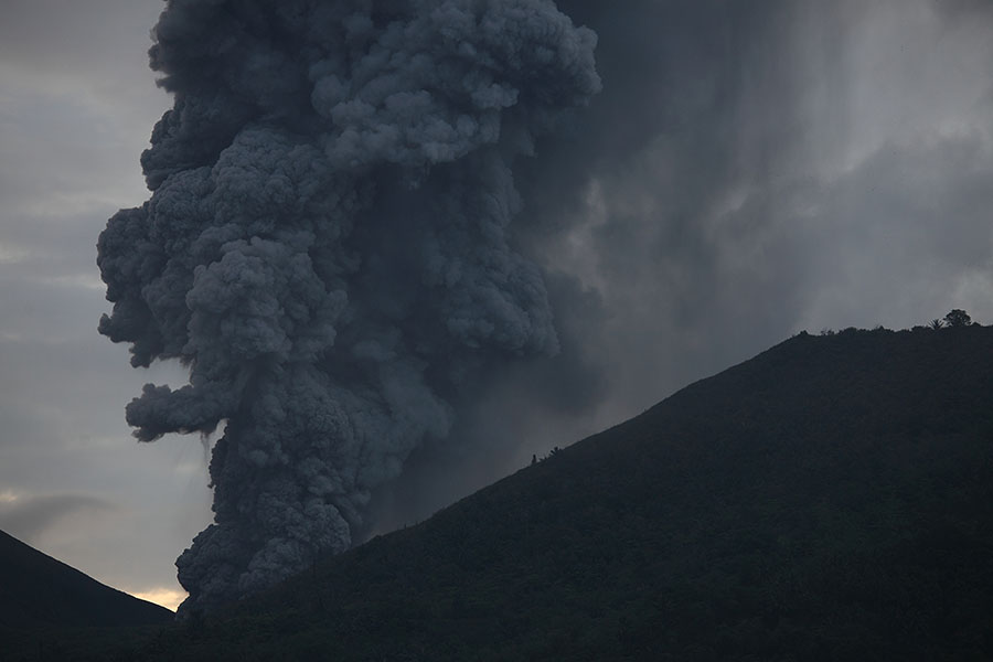
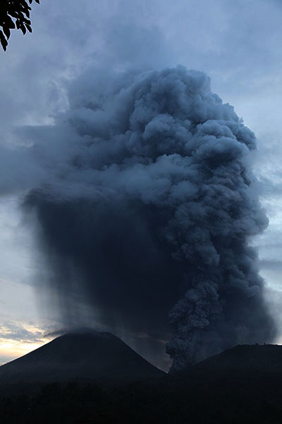
Powerful ash eruption, evening 06.12.2012 |
 |
 |
 |
|
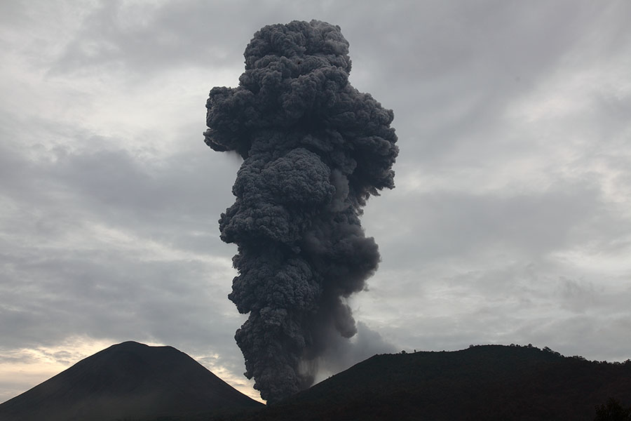
Powerful ash eruption, evening 06.12.2012 |
 |
 |
|
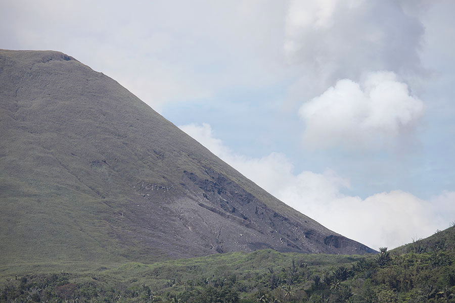
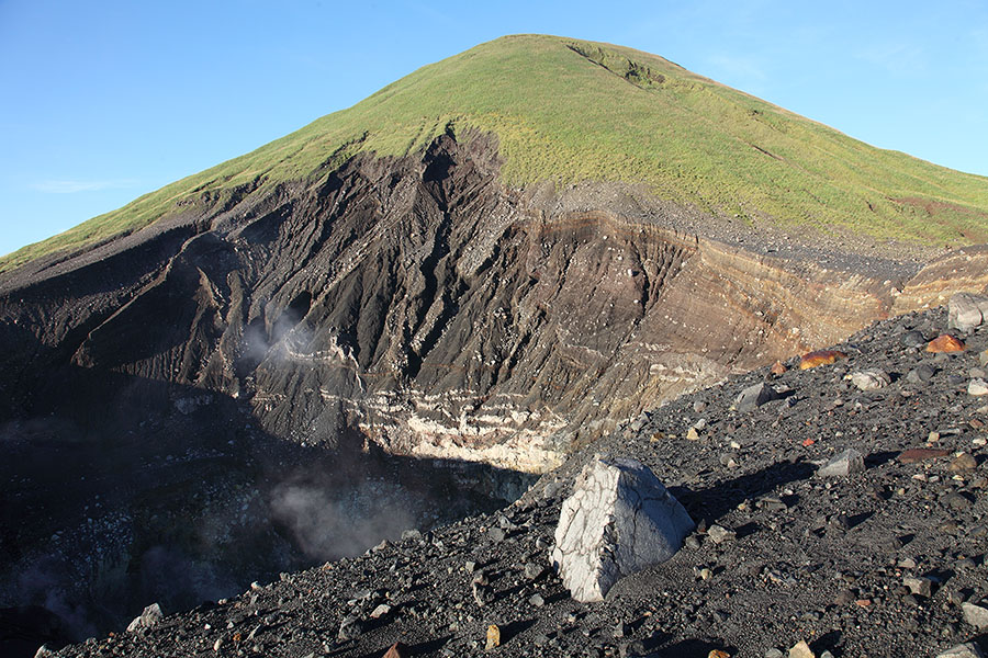
View toward Kawah Tompaluan crater and eroded flank of Lokon |
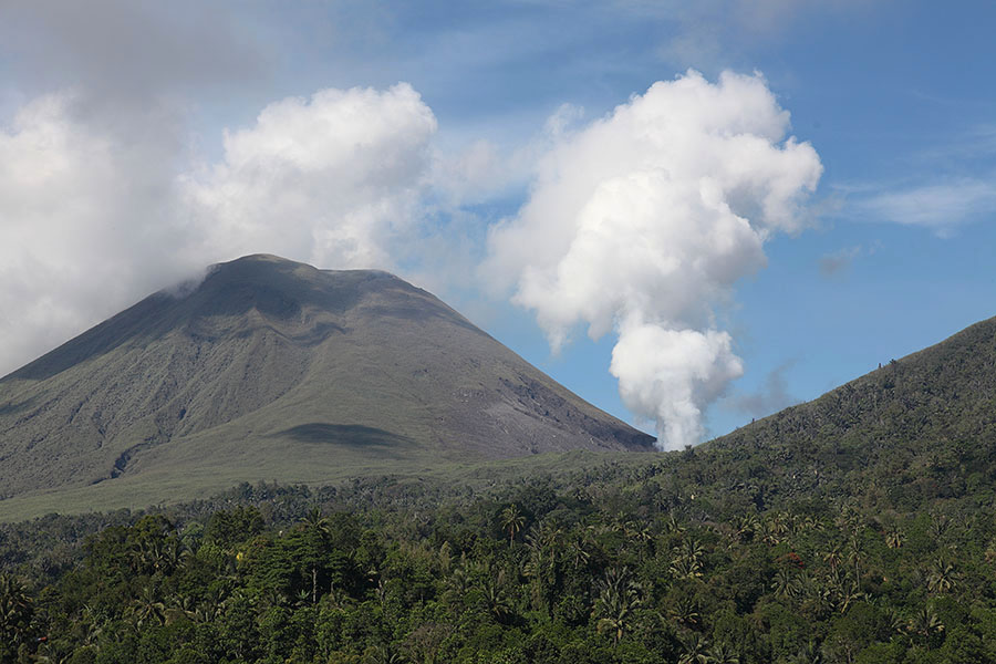
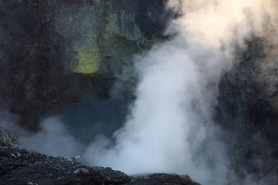
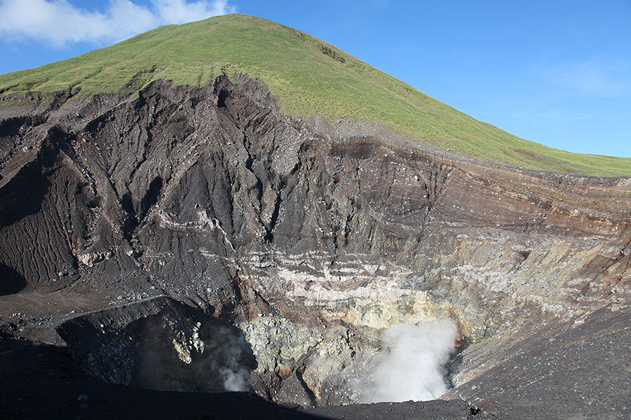
Degassing between eruptions |
 |
 |
|
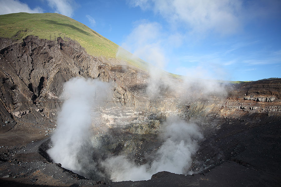
Degassing 09.12.2012 |
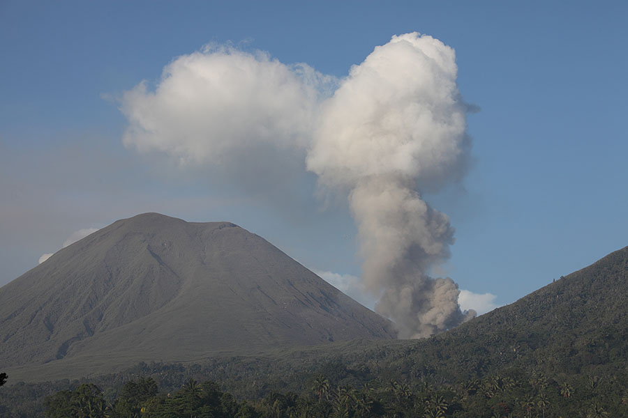
Weak ash venting on morning of 10.12.2012 following nighttime eruption |
 |
 |
 |
|
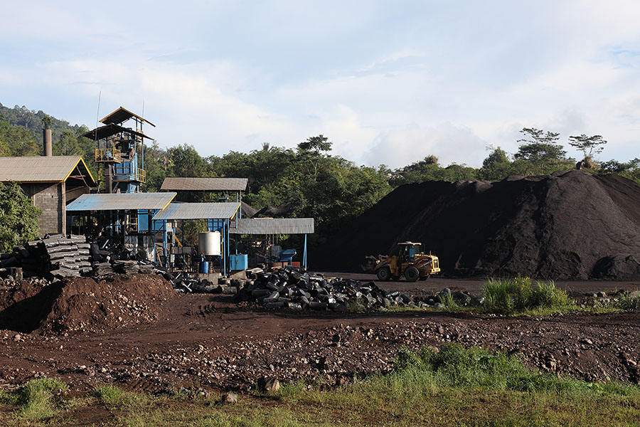
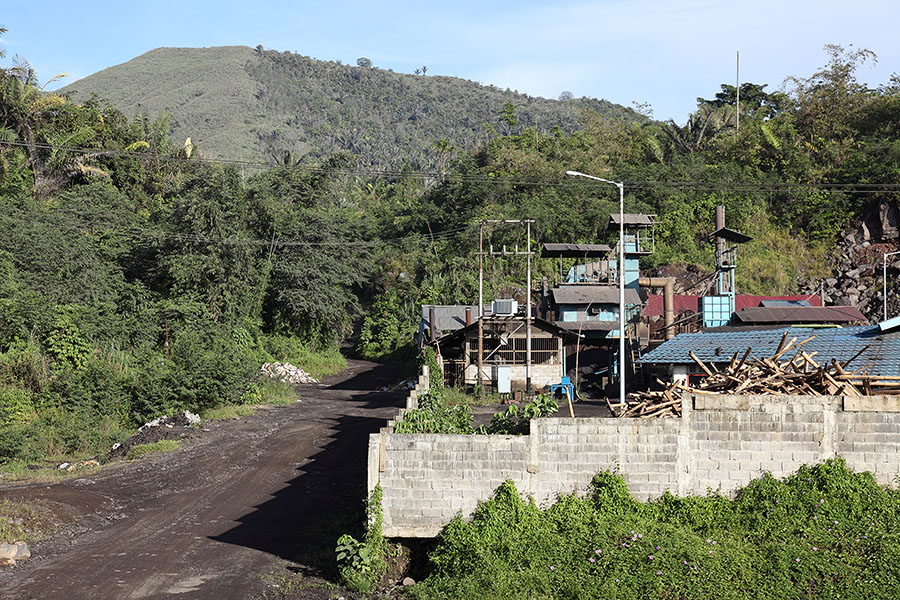
Facility processing volcanic materials |
Ash deposits |
Facility processing volcanic materials, Empung behind |
 |
 |
 |
|
Collecting ash |
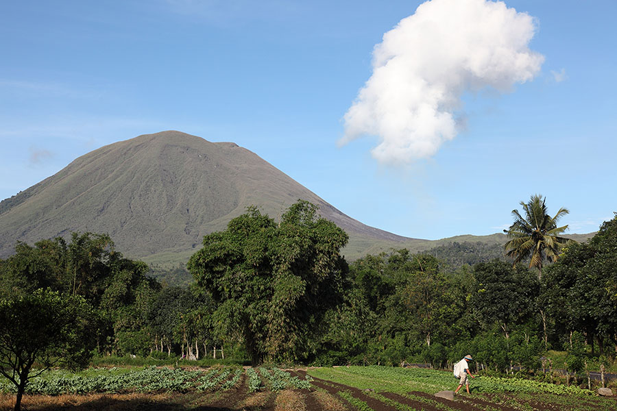
Fertile land at base of volcano in agricultural use |
Farming near foot of Lokon volcano |
 |
 |
 |
|
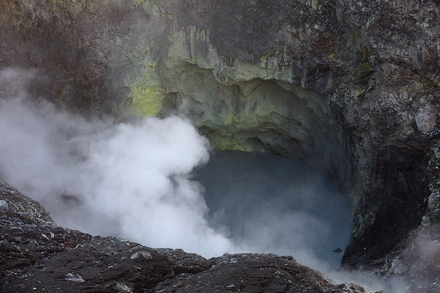
Acidic crater lake in Tompaluan crater |
Tompaluan crater at foot of Lokon |
Acidic crater lake in Tompaluan crater |
 |
 |
|
Volcanic bomb on crater rim |
Volcanic bomb on crater rim |
 |
 |
|
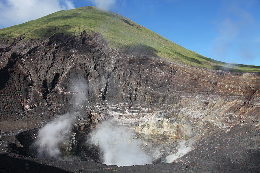
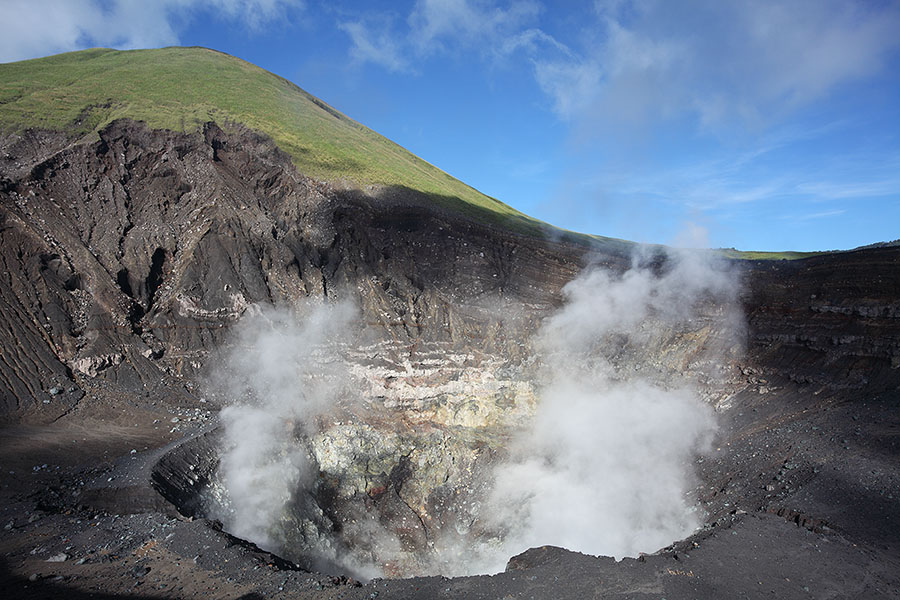
Degassing Tompaluan crater with Lokon behind |
Degassing Tompaluan crater with Lokon behind |
 |
 |
|
Degassing Tompaluan crater with Lokon behind |
Degassing Tompaluan crater with Lokon behind |
 |
 |
|
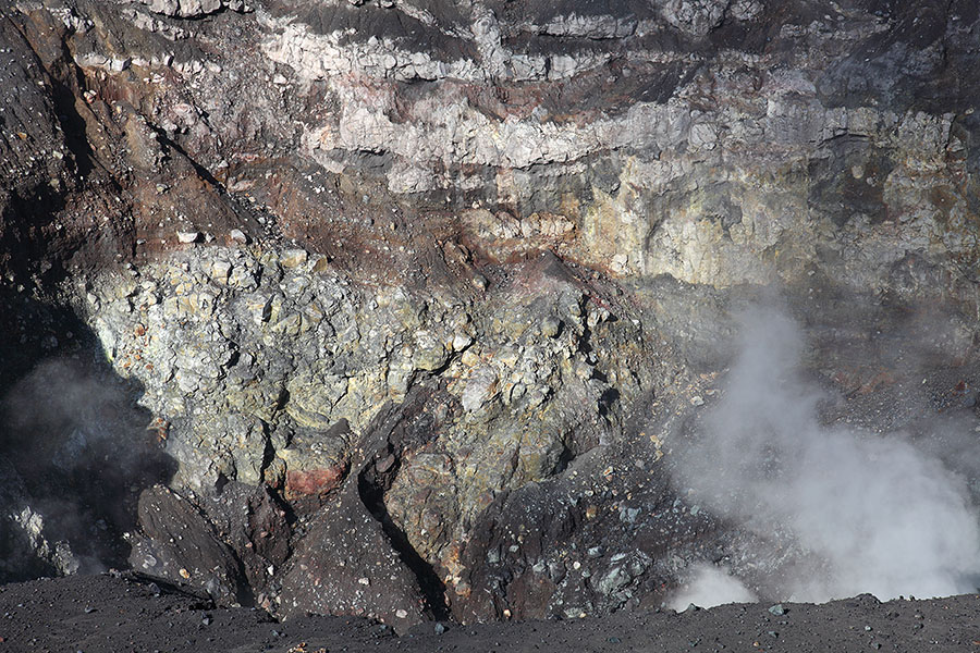
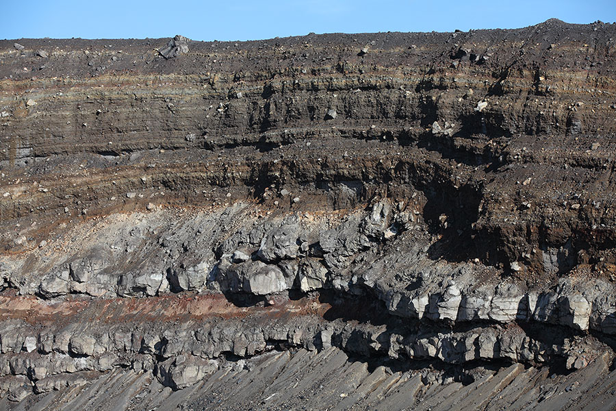
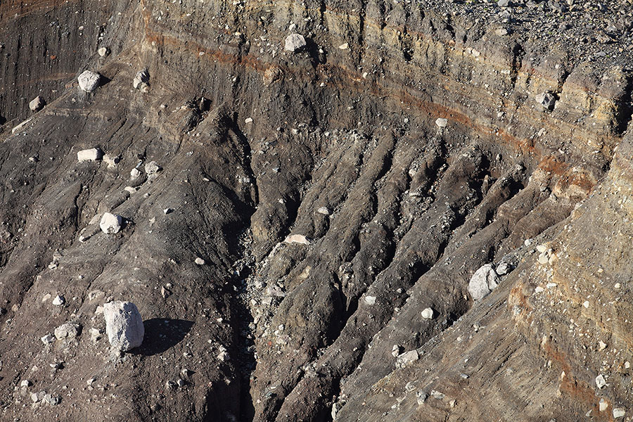
View over crater showing crater wall in detail |
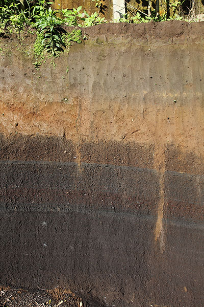
Strata in outer crater wall of Tompaluan |
 |
 |
|
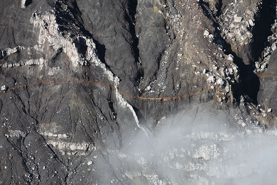
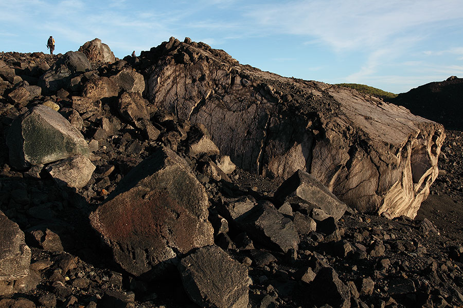
Dyke in crater wall at base of Lokon |
Small erosion gulleys inside crater |
 |
 |
|
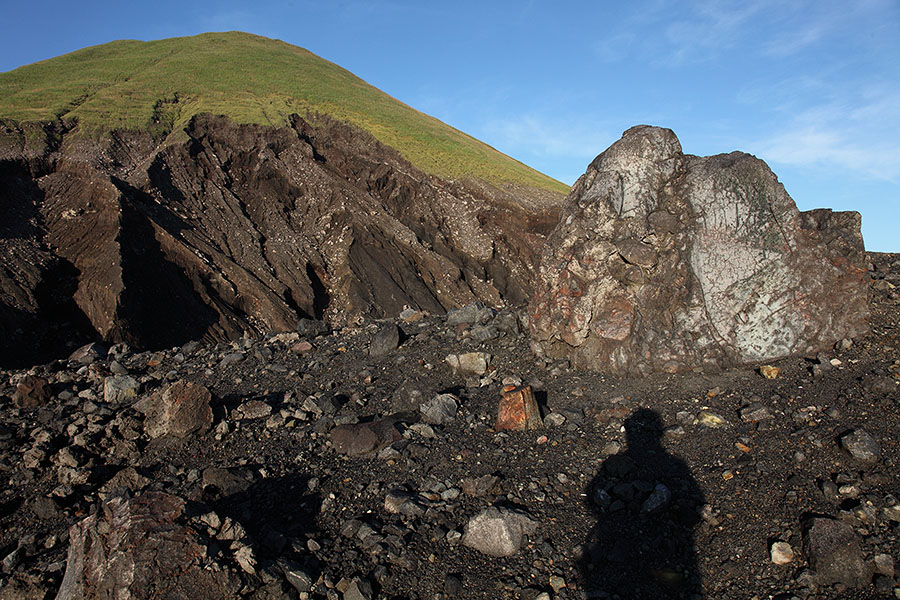
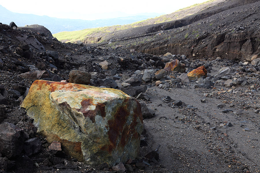
Large volcanic bomb 20 meters from rim |
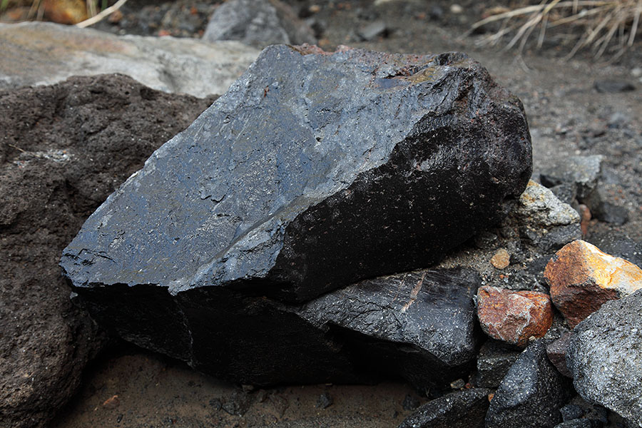
Obsidan fragment near crater |
 |
 |
|
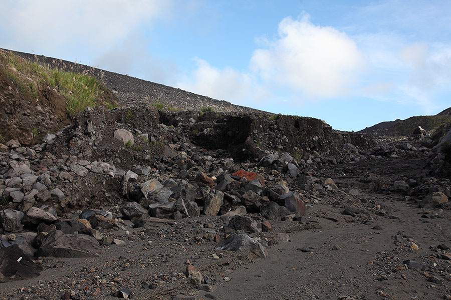
Gulley used to access crater zone, crater on left |
Geothermally altered volcanic bomb in access gulley |
 |
 |
|
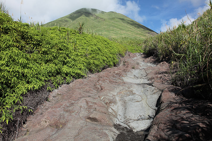
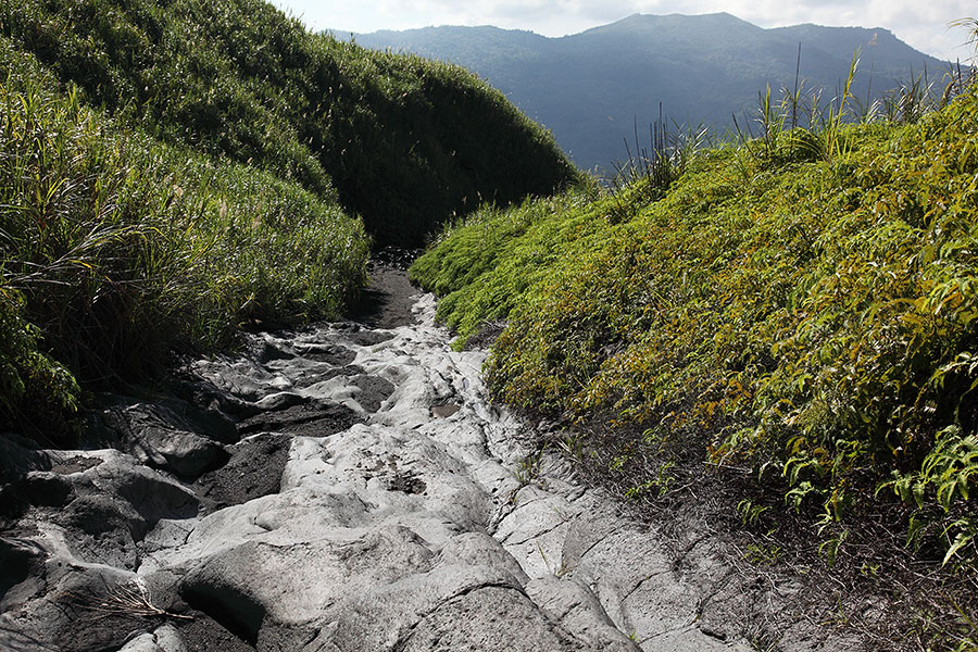
Old lava flow forms path to crater zone |
Descending gully, Mahawu volcano in distance |
 |
 |
|
View from front of Highland Resort |
View from near former Boutique Hotel |
 |
 |
|
Sign indicating evacuation path for population |
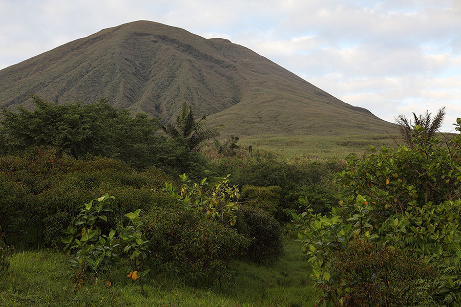
Dense vegetation on slopes with Lokon |
|
 |
|
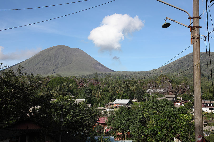
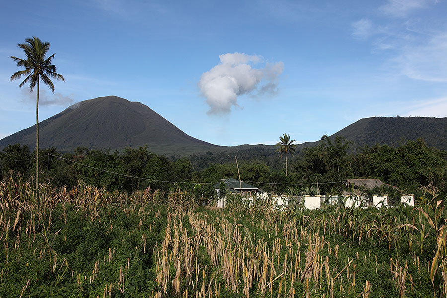
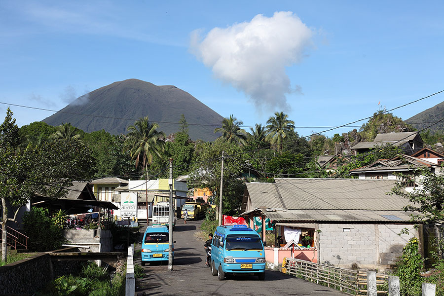
Kinilow town at foot of Lokon-Empung |
Kinilow town at foot of Lokon-Empung |
 |
 |
|
Mahawu crater, summit crater |
Mahawu volcano, summit crater |